Digital Classroom
Explore Australia's history at the National Library's Digital Classroom, aligned with the Australian Curriculum. With over 10 million items, we support diverse learning styles, fostering inquiry-based learning for students to analyse sources and draw conclusions about the Australian story.
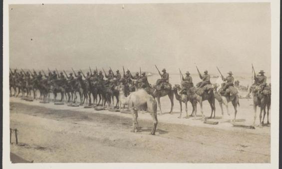
Imperial Camel Corps in Palestine, 1917-1918. nla.gov.au/nla.obj-153422443
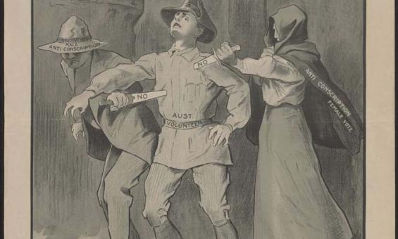
G. H. Dancey, (1916), The crime of those who vote "No!", nla.gov.au/nla.obj-136421813