Digital Classroom
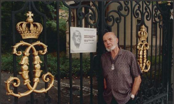
Wolfgang Sievers, [Photograph of Wolfgang Sievers], Berlin, Germany, 1991, nla.gov.au/nla.obj-161009403
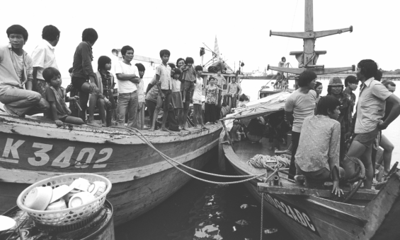
Michael Jensen, Vietnamese boat people, Darwin, 1977, nla.gov.au/nla.obj-149648567
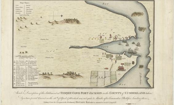
Francis Fowkes, Sydney Cove, Port Jackson, in the County of Cumberland, 1789, nla.gov.au/nla.obj-230578175
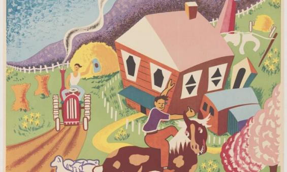
J. G & Australia. Department of Information, Australia land of tomorrow, 1950, nla.gov.au/nla.obj-137199963
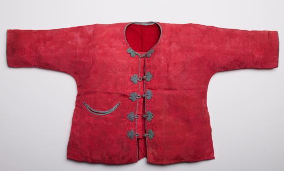
Christening gown worn by members of the Kwong family from the Papers of the Kwong family, 1891-2001, nla.gov.au/nla.cat-vn3006822
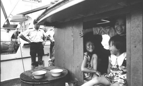
Michael Jensen, Three girls in cabin on the boat from Vietnam, Darwin 1977, nla.gov.au/catalog/3209932
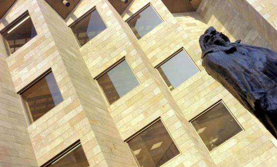
Wolfgang Sievers, National Gallery of Victoria, Melbourne - Forecourt with Rodin's Balzac, 1968, nla.gov.au/nla.obj-160765377