Maps
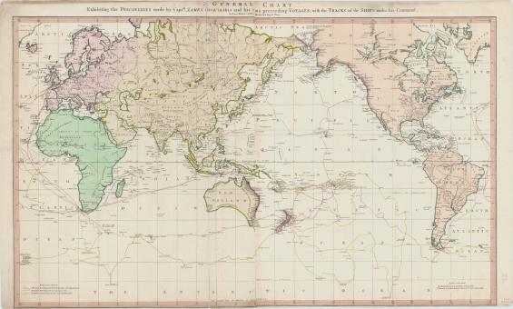
Lieut Henry Roberts, A general chart exhibiting the discoveries made by Capt. James Cook in this and his two preceding voyages, 1789, nla.gov.au/nla.obj-230604992
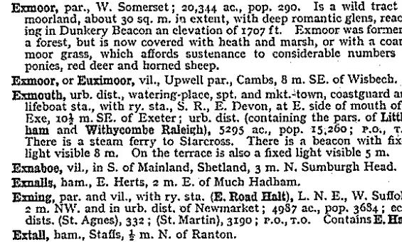
John Bartholomew and Son, Gazetteer of the British Isles, 1970, nla.gov.au/catalog/1374709

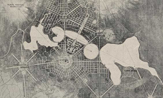
Detail of a black and white foolscap offprint of 'City and Environs, a plan of Canberra' from the papers of Walter Burley Griffin and Marion Mahony collected by Eric Nicholls, nla.gov.au/nla.obj-3210431032
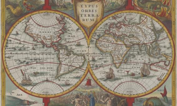
Jan Cloppenburgh, Typus orbis terrarum, 1673, nla.gov.au/nla.obj-231707274
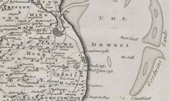
Robert Morden et al, Kent, 1695, detail, nla.gov.au/nla.obj-231505192
Robert Morden et al, Kent, 1695, detail, nla.gov.au/nla.obj-231505192