Australian Capital Territory | National Library of Australia (NLA)

Australian Capital Territory

Showing 13 - 14 of 14 results
This squatting map of Victoria shows counties, road and rail lines, settlements and subdivisions. Relief is shown on the map using hachures.

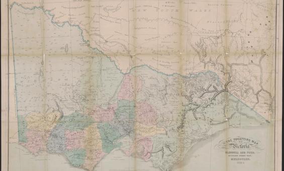
Thomas Ham, Blundell and Ford, The squatting map of Victoria, 1864-1865, nla.gov.au/nla.obj-231392173

This squatting map of Victoria shows counties, road and rail lines, settlements and subdivisions. Relief is shown on the map using hachures.

Pastoral or squatting maps

Early pastoral or squatting maps can help you locate pastoral properties relating to ownership before Torrens Title, and for identifying large pastoral and squatting runs. Many maps we have can be viewed online, and all can be viewed at the Library.

Research guide
A historic real estate map advertising a land auction at Circular Quay and George Street, Sydney, dated May 30th, 1900. The layout showcases plots available for development, labeled "colored red," situated near the wharves, shops, and notable buildings. Text emphasizes the commercial opportunities of the site, positioned near tram and maritime terminals.

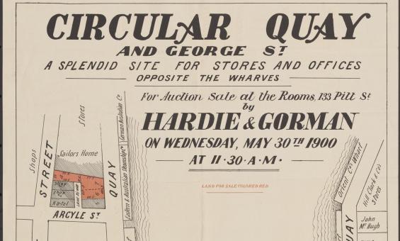
Hardie & Gorman Pty. Ltd & W. E. Smith Ltd, Circular Quay and George St., a splendid site for stores and offices, opposite the wharves for auction sale at the rooms, 133 Pitt St,  nla.gov.au/nla.obj-230508873

Real estate or sales plans

Use sales plans to find information about land sales, such as prices, boundaries, roads and land use.

Research guide

Need help?

Our librarians are here to guide you.

Ask a librarian