Maps

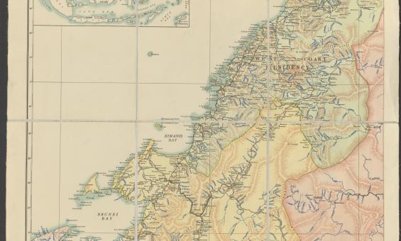
http://nla.gov.au/nla.obj-742754582
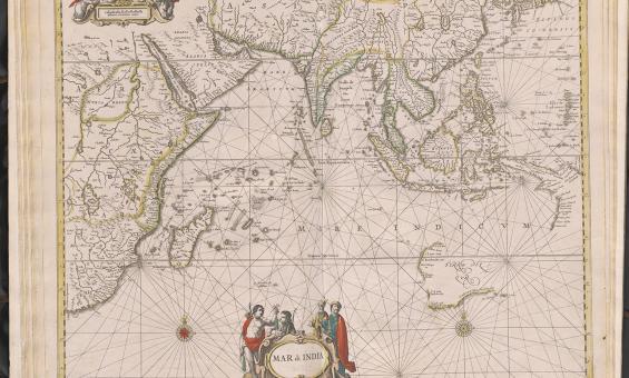
Jan Jansson & Hendrick Doncker, Mar di India, 1659, nla.gov.au/nla.obj-230757141
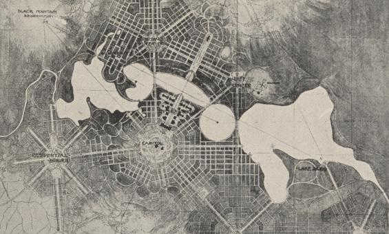
Detail of a black and white foolscap offprint of 'City and Environs, a plan of Canberra' from the papers of Walter Burley Griffin and Marion Mahony collected by Eric Nicholls, nla.gov.au/nla.obj-3210431032
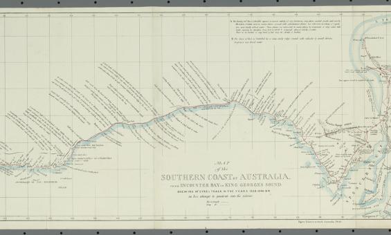
John Arrowsmith and William Clowes and Sons, Map of the southern coast of Australia from Encounter Bay to King George's Sound shewing Mr. Eyre's track in the years 1839, 1830 & 41 in his attempt to penetrate into the interior, 1843, nla.gov.au/nla.obj-232546838