Europe
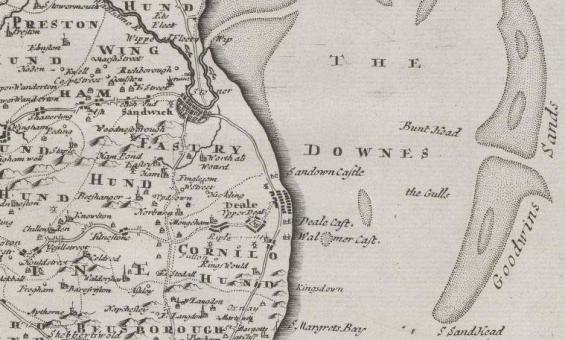
Robert Morden et al, Kent, 1695, detail, nla.gov.au/nla.obj-231505192
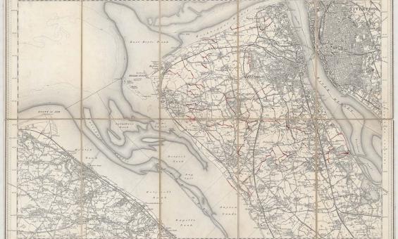
New one inch Ordnance Survey of England & Wales, 1864, nla.gov.au/nla.obj-231933519
This ‘one inch’ topographic map has a scale of one inch on the map representing one mile on the ground (1:63 360). Ordnance Survey maps at this scale provide an overview of an area, including the relationships between cities, villages and other features in the landscape.
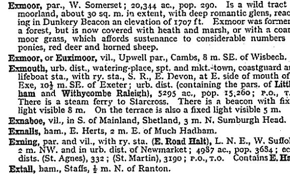
John Bartholomew and Son, Gazetteer of the British Isles, 1970, nla.gov.au/catalog/1374709
New one inch Ordnance Survey of England & Wales, 1864, nla.gov.au/nla.obj-231933519
This ‘one inch’ topographic map has a scale of one inch on the map representing one mile on the ground (1:63 360). Ordnance Survey maps at this scale provide an overview of an area, including the relationships between cities, villages and other features in the landscape.
Robert Morden et al, Kent, 1695, detail, nla.gov.au/nla.obj-231505192
