British and Irish maps for family historians
Key resources
We hold a large international collection of maps that supports family history research.
This guide suggests map resources to try when researching the British or Irish origins of your family and includes details of how to find and use:
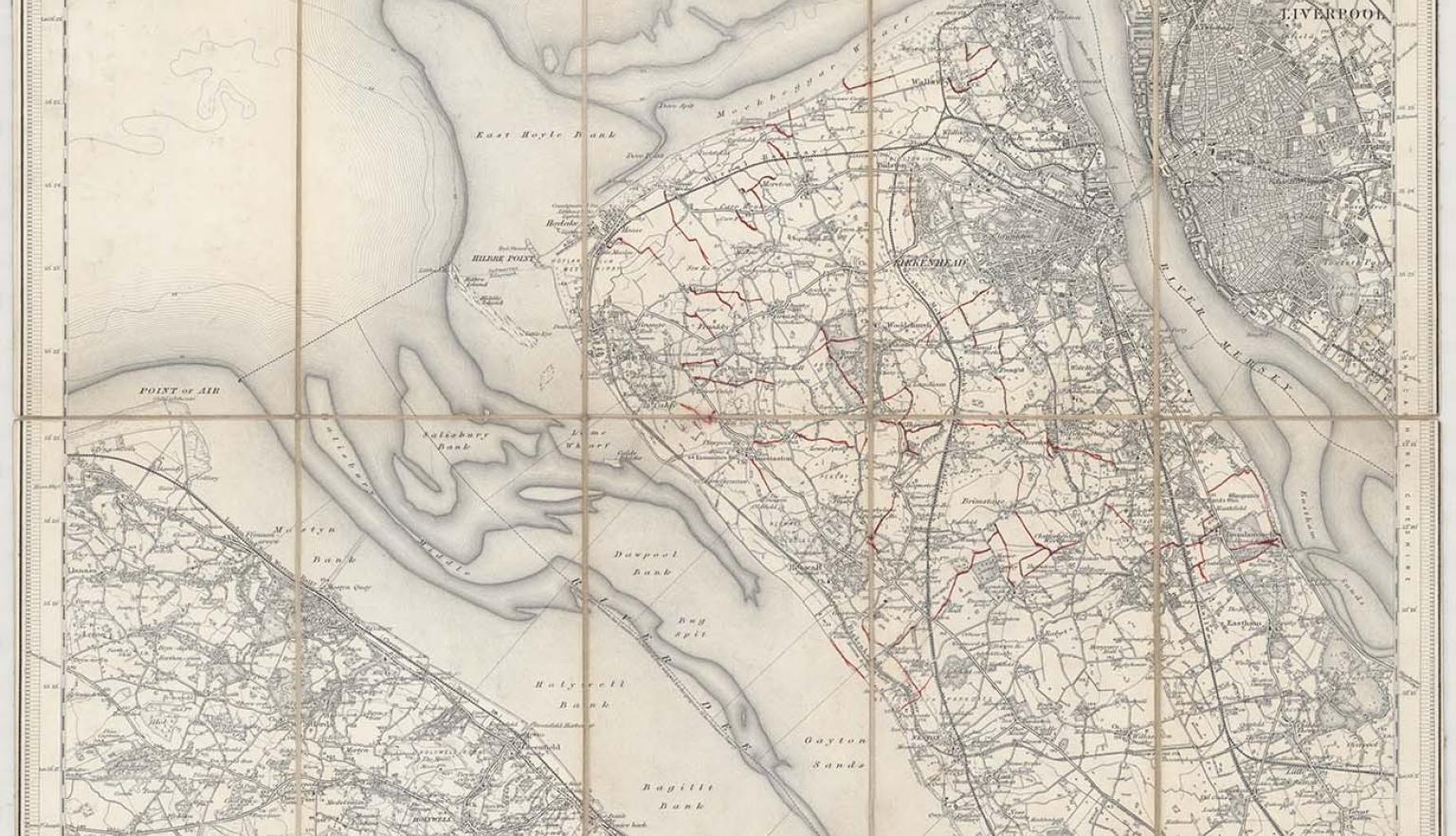
New one inch Ordnance Survey of England & Wales, 1864, nla.gov.au/nla.obj-231933519
This ‘one inch’ topographic map has a scale of one inch on the map representing one mile on the ground (1:63 360). Ordnance Survey maps at this scale provide an overview of an area, including the relationships between cities, villages and other features in the landscape.
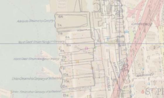
[Ordnance Survey county six-inch topographic series] Lanarkshire, 1863, detail, nla.gov.au/nla.obj-232229747
Six-inch to the mile maps were published in the 19th and 20th centuries, covering most of England and Wales, in remarkable detail.
[Ordnance Survey county six-inch topographic series] Lanarkshire, 1863, detail, nla.gov.au/nla.obj-232229747
Six-inch to the mile maps were published in the 19th and 20th centuries, covering most of England and Wales, in remarkable detail.
Related research guides
Browse these related Library research guides to find more information and resources.
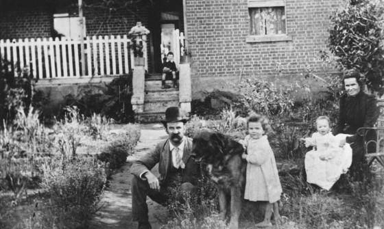
Portrait of Oliver Barberie and family, 1900, nla.gov.au/nla.obj-136621963
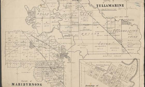
Parish of Tullamarine Parish of Maribyrnong, 1892, nla.gov.au/nla.obj-232027555
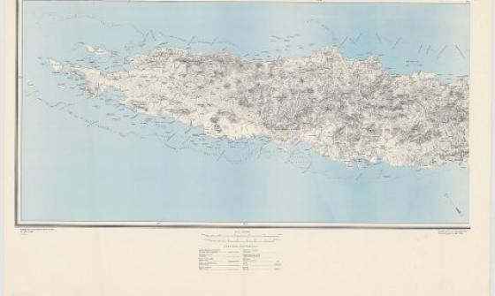
Great Britain. War Office. (1942). New Caledonia, nla.gov.au/nla.obj-233403296
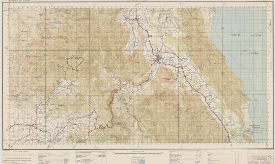
Australia. Army. Topographical Survey Company, 2/1st & Australia. Army. Topographical Survey Company, 6th & Australia. Army. Royal Australian Survey Corps. Gordonvale, Queensland Topographical Survey Company, 1942, nla.gov.au/nla.obj-234344829
Maps and copyright
Maps are usually published items.
- Maps published in or before 1954 are out of copyright.
- Maps published in 1955 or later by a government publisher: copyright lasts for 50 years after the end of the year the map was published.
- Maps published in 1955 or later by a non-government publisher: copyright lasts for 70 years after the end of the year the map was published.
For further information, see: Rights and the Maps Collection.
Get help with your research
Our specialist staff can help you with your research, to locate resources and use our microform and scanning equipment but they cannot undertake extensive or ongoing genealogical, historical or other research on your behalf.
Find out more in our Information and research services policy.
Continue your journey


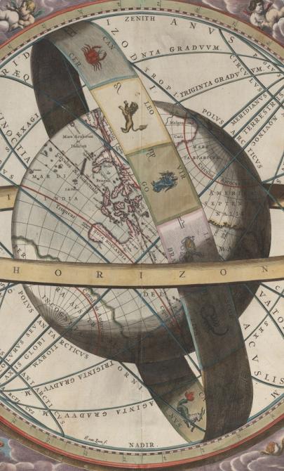
J. van. Loon & Andreas Cellarius, Sitvs terrae circvlis coelestibvs circvndatae, 1660, nla.gov.au/nla.obj-230714394
More to explore
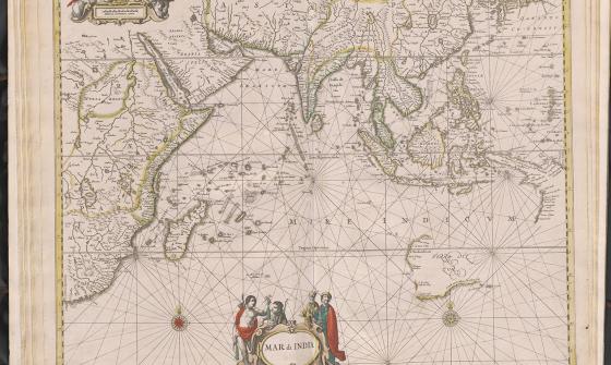
Jan Jansson & Hendrick Doncker, Mar di India, 1659, nla.gov.au/nla.obj-230757141
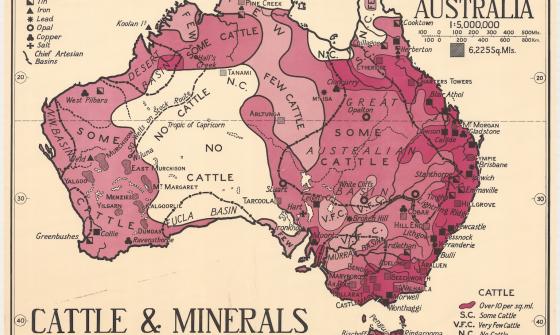
Thomas Griffith Taylor and H. O. Beckit, The new Oxford wall maps of Australia, c.1920, nla.gov.au/nla.obj-255201355