Maps
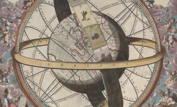
J. van. Loon & Andreas Cellarius, Sitvs terrae circvlis coelestibvs circvndatae, 1660, nla.gov.au/nla.obj-230714394

Bijin Shinobazunoike o nozomu, Beauty looking at Shinobazu Pond (1895), nla.gov.au/nla.cat-vn5744665
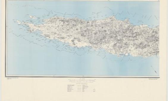
Great Britain. War Office. (1942). New Caledonia, nla.gov.au/nla.obj-233403296
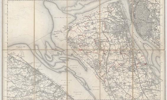
New one inch Ordnance Survey of England & Wales, 1864, nla.gov.au/nla.obj-231933519
This ‘one inch’ topographic map has a scale of one inch on the map representing one mile on the ground (1:63 360). Ordnance Survey maps at this scale provide an overview of an area, including the relationships between cities, villages and other features in the landscape.
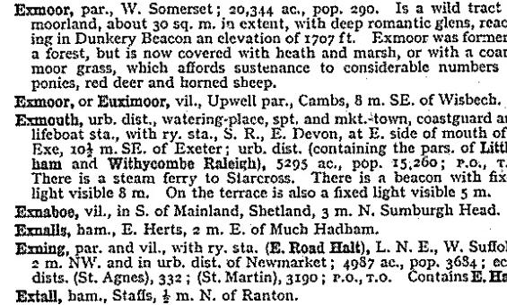
John Bartholomew and Son, Gazetteer of the British Isles, 1970, nla.gov.au/catalog/1374709
New one inch Ordnance Survey of England & Wales, 1864, nla.gov.au/nla.obj-231933519
This ‘one inch’ topographic map has a scale of one inch on the map representing one mile on the ground (1:63 360). Ordnance Survey maps at this scale provide an overview of an area, including the relationships between cities, villages and other features in the landscape.
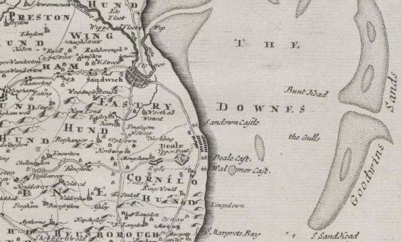
Robert Morden et al, Kent, 1695, detail, nla.gov.au/nla.obj-231505192
Robert Morden et al, Kent, 1695, detail, nla.gov.au/nla.obj-231505192
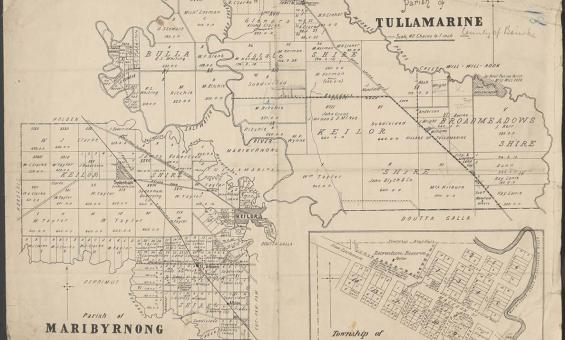
Parish of Tullamarine Parish of Maribyrnong, 1892, nla.gov.au/nla.obj-232027555
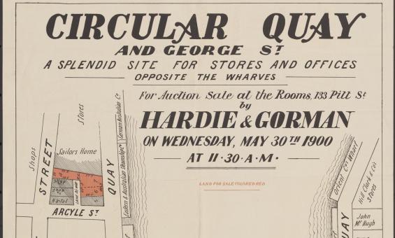
Hardie & Gorman Pty. Ltd & W. E. Smith Ltd, Circular Quay and George St., a splendid site for stores and offices, opposite the wharves for auction sale at the rooms, 133 Pitt St, nla.gov.au/nla.obj-230508873
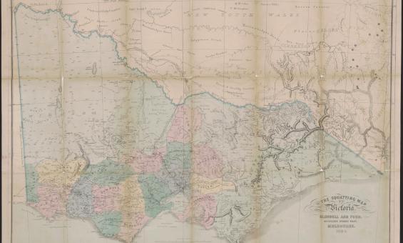
Thomas Ham, Blundell and Ford, The squatting map of Victoria, 1864-1865, nla.gov.au/nla.obj-231392173
This squatting map of Victoria shows counties, road and rail lines, settlements and subdivisions. Relief is shown on the map using hachures.
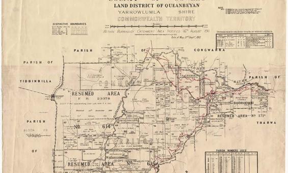
New South Wales, Department of Lands, Parish of Booroomba, County of Cowley Land District of Queanbeyan, Yarrowlumla Shire, Commonwealth Territory, 1912, nla.gov.au/nla.obj-233985512