Maps

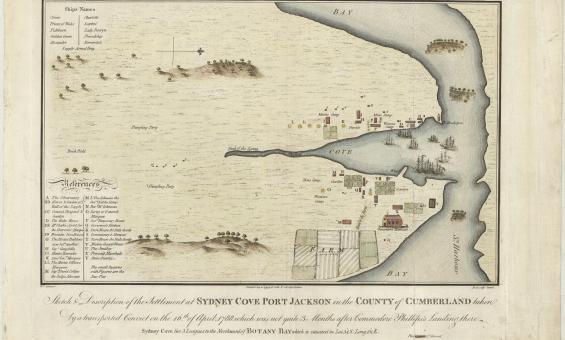
Francis Fowkes, Sydney Cove, Port Jackson, in the County of Cumberland, 1789, nla.gov.au/nla.obj-230578175
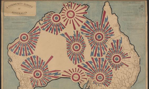
John Flynn, Flying Doctor Service of Australia, 1951, nla.gov.au/nla.obj-481242509
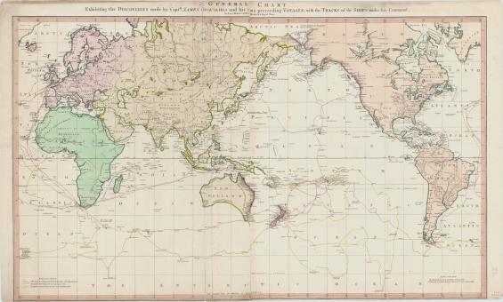
Lieut Henry Roberts, A general chart exhibiting the discoveries made by Capt. James Cook in this and his two preceding voyages, 1789, nla.gov.au/nla.obj-230604992
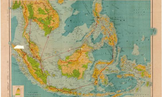
Henry Otley Bayer, Malay Archipelag 1:8,500,000, 1942, nla.gov.au/nla.obj-580711626
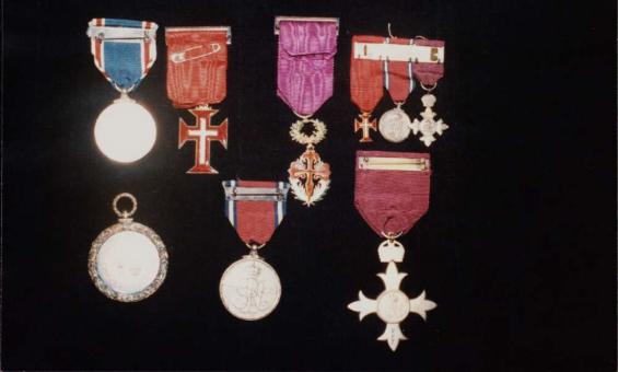
Medals awarded to J.P. and J.M. Braga, including an OBE awarded to J.P. Braga, 1935, nla.gov.au/nla.obj-147186954
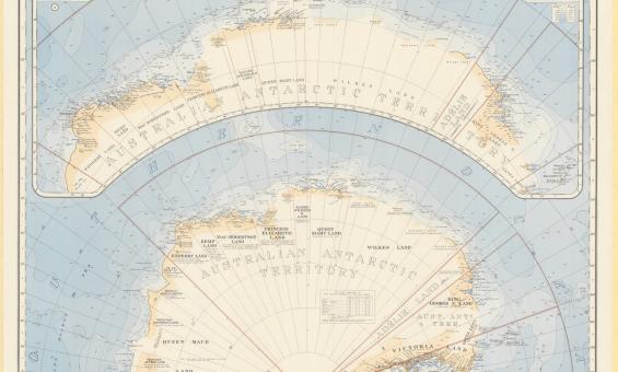
Australia. Department of the Interior. Property and Survey Branch. & E. P. Bayliss, J. S. & Cumpston, Antarctica, 1939, nla.gov.au/nla.obj-236895938
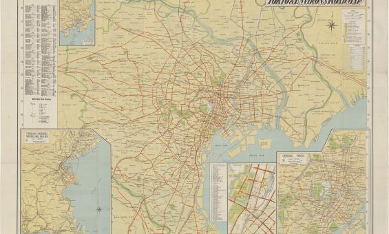
Tokyo and environs road map, 1953, nla.gov.au/nla.obj-1584417804
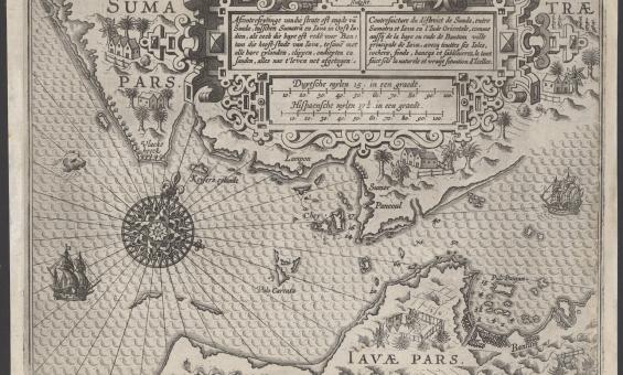
Lucas Janszoon Waghenaer, Afconterfeytinge van die strate oft engde van Sunda, tusschen Sumatra en Iava in Oost Indien, als oock die baye oft rede voor Bantam die hooft-stadt van Iava, tesamen met alle hare eylanden, clippen, ondiepten en sanden, alles nae t' leven net afgetogen, c.1602, nla.gov.au/nla.obj-3444422116
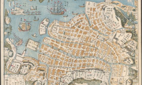
Shinsen Nagasaki no zu, 1801, nla.gov.au/nla.obj-230571001
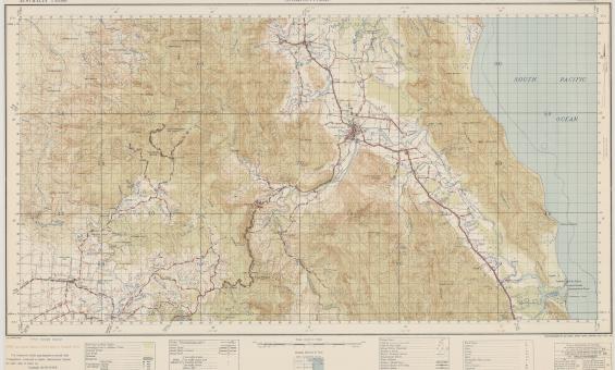
Australia. Army. Topographical Survey Company, 2/1st & Australia. Army. Topographical Survey Company, 6th & Australia. Army. Royal Australian Survey Corps. Gordonvale, Queensland Topographical Survey Company, 1942, nla.gov.au/nla.obj-234344829