Maps
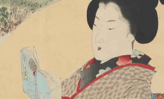
Bijin Shinobazunoike o nozomu, Beauty looking at Shinobazu Pond (1895), nla.gov.au/nla.cat-vn5744665
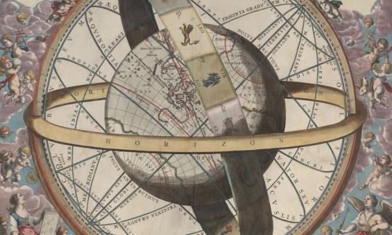
J. van. Loon & Andreas Cellarius, Sitvs terrae circvlis coelestibvs circvndatae, 1660, nla.gov.au/nla.obj-230714394
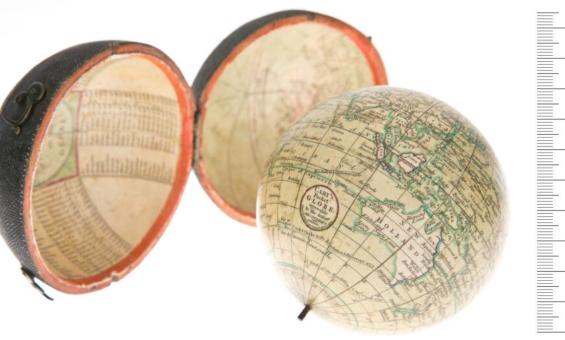
John Cary, William Cary and Jean Baptiste Bourguignon d'Anville, Cary's pocket globe agreeable to the latest discoveries, 1791, nla.gov.au/nla.obj-234207821
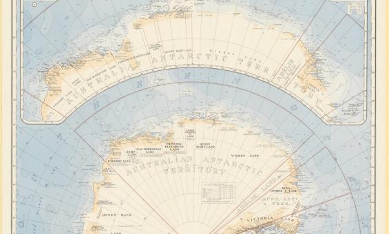
Australia. Department of the Interior. Property and Survey Branch. & E. P. Bayliss, J. S. & Cumpston, Antarctica, 1939, nla.gov.au/nla.obj-236895938
John Flynn, Flying Doctor Service of Australia, 1951, nla.gov.au/nla.obj-481242509
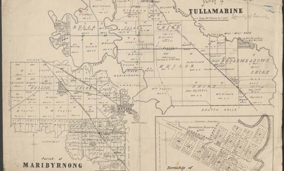
Parish of Tullamarine Parish of Maribyrnong, 1892, nla.gov.au/nla.obj-232027555
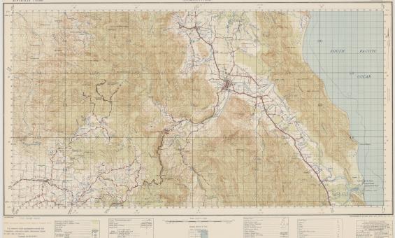
Australia. Army. Topographical Survey Company, 2/1st & Australia. Army. Topographical Survey Company, 6th & Australia. Army. Royal Australian Survey Corps. Gordonvale, Queensland Topographical Survey Company, 1942, nla.gov.au/nla.obj-234344829
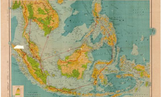
Henry Otley Bayer, Malay Archipelag 1:8,500,000, 1942, nla.gov.au/nla.obj-580711626
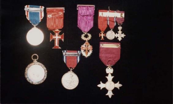
Medals awarded to J.P. and J.M. Braga, including an OBE awarded to J.P. Braga, 1935, nla.gov.au/nla.obj-147186954
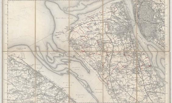
New one inch Ordnance Survey of England & Wales, 1864, nla.gov.au/nla.obj-231933519
This ‘one inch’ topographic map has a scale of one inch on the map representing one mile on the ground (1:63 360). Ordnance Survey maps at this scale provide an overview of an area, including the relationships between cities, villages and other features in the landscape.
