Australian maps for family historians
About Australian land and property maps
If you’re looking for details of your ancestors’ landholdings or movements, there are three types of maps in the Library collection that will be useful to your research.
Squatting or pastoral maps
When European settlement began in Australia, land administration followed the British system of ‘Old Title’ where information about each parcel of land was held against the name of the owner of the title.
Names and the extent of these early allotments may be found on early squatting or pastoral maps held by us and most state libraries.
Grants and deeds to Old Title system allotments are held by the relevant state lands departments, land title office or state archives.
Parish, town and county maps
In the 1860s, the Old Title system was replaced by ‘Torrens Title’. Torrens Title is a system of recording title information against the parcel of land itself.
New South Wales (and other colonies) were divided into counties and civil parishes. Parish and county maps, together with village and town surveys, form the basis of land administration. They contain the basic references required to identify the original owner of a parcel of land from the commencement of Torrens Title, and to search for subsequent owners.
Real estate or sales plans
Real estate or sales plans were used by real estate companies to advertise land sales and contain evidence of prices paid, boundaries, road changes, land use, social change and types of ownership.
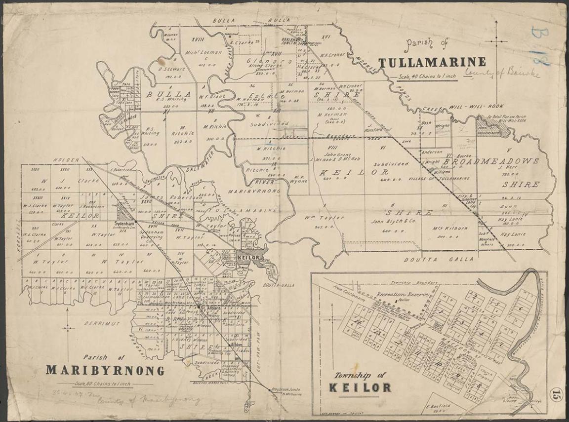
Parish of Tullamarine Parish of Maribyrnong, 1892, nla.gov.au/nla.obj-232027555
Parish of Tullamarine Parish of Maribyrnong, 1892, nla.gov.au/nla.obj-232027555
Featured resource
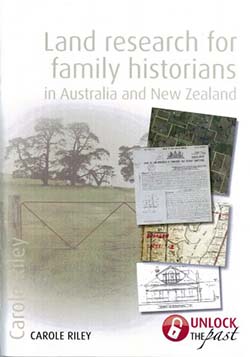
Carole Riley, Land research for family historians in Australia & New Zealand, 2012, nla.gov.au/nla.cat-vn6098966
Carole Riley's Land research for family historians in Australia and New Zealand booklet is an invaluable resource for family historians seeking to access land title records and maps as part of their research.
It explains the different record keeping systems used by the different states, how to interpret maps, records and understand terminology, and gives research tips.
Related research guides
Browse these related Library research guides to find more information and resources about maps.
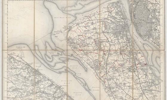
New one inch Ordnance Survey of England & Wales, 1864, nla.gov.au/nla.obj-231933519
This ‘one inch’ topographic map has a scale of one inch on the map representing one mile on the ground (1:63 360). Ordnance Survey maps at this scale provide an overview of an area, including the relationships between cities, villages and other features in the landscape.
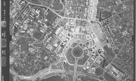
ACT town centre - Belconnen, Woden, Civic, 1978, nla.gov.au/nla.obj-2455089225
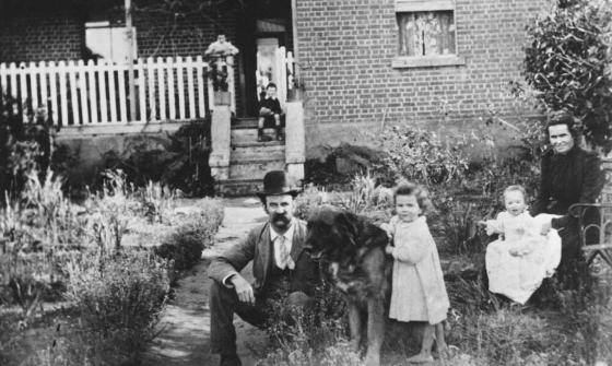
Portrait of Oliver Barberie and family, 1900, nla.gov.au/nla.obj-136621963
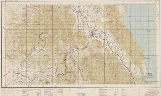
Australia. Army. Topographical Survey Company, 2/1st & Australia. Army. Topographical Survey Company, 6th & Australia. Army. Royal Australian Survey Corps. Gordonvale, Queensland Topographical Survey Company, 1942, nla.gov.au/nla.obj-234344829
Where else to look
We may not hold historical property mapping or records for your area and/or time period of interest.
In this case, you may be able to access maps and historical property information from other sources.
Many maps are available on Trove and all state libraries and some regional libraries include map collections comprising historical property mapping, real estate plans and so on.
Other libraries and property departments have created guides to their map, land or plan collections.
Place names
Composite Gazetteer of Australia place name search (Geoscience Australia)
Place names and historical maps
Historical maps
NSW Parish Maps (NSW Land Registry Services)
Historical Atlas of Sydney (City of Sydney Archives)
Place names
Place Names of NSW book from 1954
NSW Place Name Search (Geographical Names Board of NSW)
Other guides
Historical maps
Queensland historical maps and plans (Museum of Lands, Mapping and Surveying)
Place names
Other guides
Place names
Naming places (South Australian Government)
Other guides
State Library of South Australia: Mapping sources for South Australian history
Historical maps
Public Records Office of Victoria: Historic plan collection
Place names
VICNAMES - The Register of Geographic Names
Other guides
Historical maps
State Records Office of Western Australia: Online maps and plans
Place names
Other guides
Get help with your research
Our specialist staff can help you with your research, to locate resources and provide advice on where to locate information but they cannot undertake extensive or ongoing genealogical, historical or other research on your behalf.
Find out more in our Information and research services policy.
Continue your journey


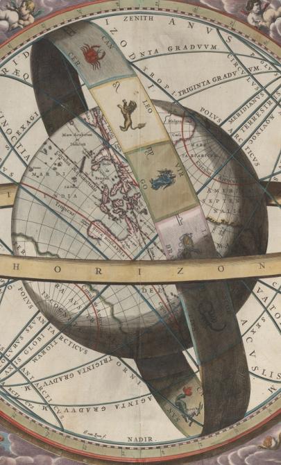
J. van. Loon & Andreas Cellarius, Sitvs terrae circvlis coelestibvs circvndatae, 1660, nla.gov.au/nla.obj-230714394
More to explore
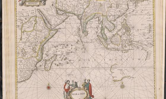
Jan Jansson & Hendrick Doncker, Mar di India, 1659, nla.gov.au/nla.obj-230757141
New one inch Ordnance Survey of England & Wales, 1864, nla.gov.au/nla.obj-231933519
This ‘one inch’ topographic map has a scale of one inch on the map representing one mile on the ground (1:63 360). Ordnance Survey maps at this scale provide an overview of an area, including the relationships between cities, villages and other features in the landscape.

[Anderson family children on a garden seat at Dee Why, New South Wales], c. 1920, nla.obj-145928313