Parish, town and county maps
What you can find in the Library
Our collection is particularly strong for the New South Wales and ACT regions.
Many of our maps can be viewed online, and all can be viewed at the Library.
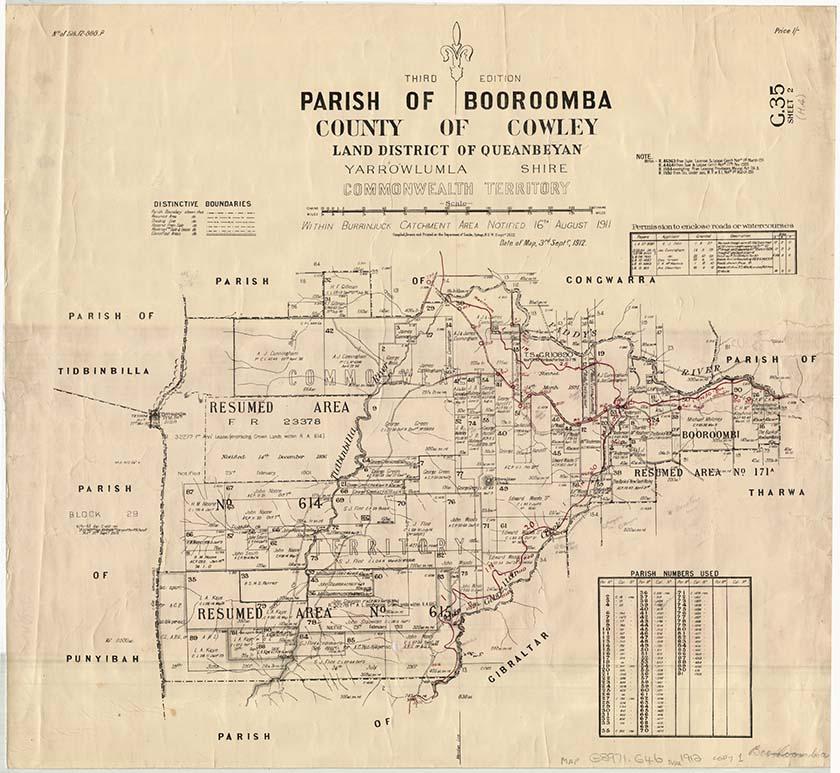
New South Wales, Department of Lands, Parish of Booroomba, County of Cowley Land District of Queanbeyan, Yarrowlumla Shire, Commonwealth Territory, 1912, nla.gov.au/nla.obj-233985512
New South Wales, Department of Lands, Parish of Booroomba, County of Cowley Land District of Queanbeyan, Yarrowlumla Shire, Commonwealth Territory, 1912, nla.gov.au/nla.obj-233985512
How to search, find and access items
A ‘county’ is divided into a number of parishes, and in the case of land ownership these are civil parishes, which are different to church parishes. In South Australia and Western Australia counties were divided into ‘divisions’ called hundreds rather than parishes.
As well as being a starting point to finding property related records at Lands Departments, parish maps show the size and position of properties, and other useful geographical information.
Locate the parish (county or hundred)
To help identify the relevant land district map (county, parish etc), on which your place of interest is located, check out Wikipedia’s list of administrative divisions of Australia, including maps, for each state.
If you are onsite at the Library, you may also find our collection of state-based gazetteers (listings of place names) useful. Ask staff in the Special Collections Reading Room for assistance.
For NSW and most other states, all place names are recorded against a parish, within a county.
The most comprehensive gazetteer for NSW and ACT is E.C. Gleeson’s 1954 ‘List of place names in New South Wales’. It is available in the Library's reference collection, or you can see it online at the Geographical Names Board of NSW.
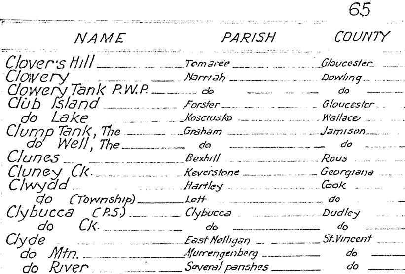
Detail from E. C. Gleeson "List of localities in New South Wales", 1954, MAPGZ NSW 1954.
Detail from E. C. Gleeson "List of localities in New South Wales", 1954, MAPGZ NSW 1954.
Search for the parish (or hundred, county, etc.)
- Once you’ve identified the land district covering your place, go to the catalogue and search for the name.
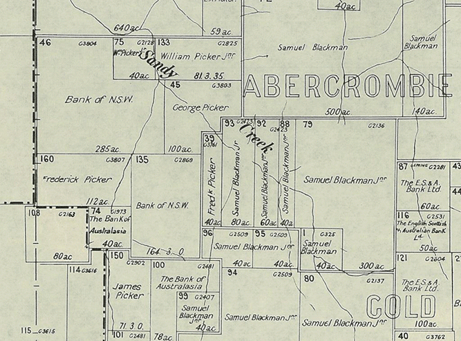
- For example, parish of Keverstone
- From the Limit your search options on the right-hand side, select Format, then Maps.
- To view only digitised maps, use the Limit your search options to select Access and National Library (digitised item).
County maps show all the parishes (or hundreds) located in that particular county and are useful to identify adjacent parishes.
Identify the allotment and titleholder
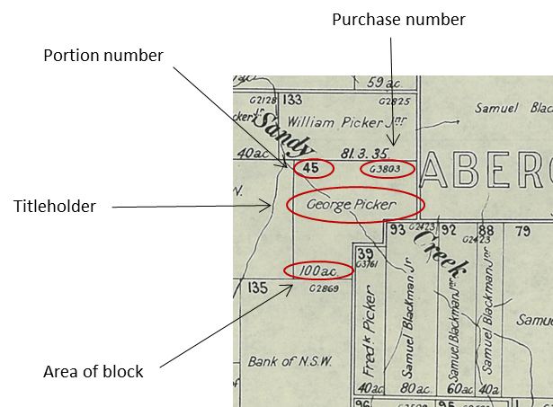
Most parish maps have been digitised. While what appears on a parish map does vary depending on the state it was published in, all of them will show the land allotments and identifying portion numbers.
Zoom in on the parish map to identify the titleholder’s name and portion number, and a purchase reference number.
Also indicated on each portion is its area in acres, roods and perches.
Town maps
Villages and towns were also surveyed and maps drawn up to show the first title holders of smaller town blocks.
We hold a large collection of town maps for NSW and other states.
To search for maps of towns
- Search the catalogue for the name of the town. (Be aware that that the names of some towns have changed over time.)
- For example, town of Kiandra
- From the Limit your search options on the right-hand side, select Format, then Maps.
- To view only digitised maps, use the Limit your search options to select Access and National Library (digitised item).
Request to view the map at the Library
If the map you want is not digitised, you can request to view it in the Library.
You will need to join the Library if you want to access our special collections materials in-person. Joining is free and allows you to request collection items to use in the Library, as well as providing access to a wide range of eResources you can access from home.
To request a map
- Find a map in the catalogue and open the catalogue record
- Click the Request button at the top of the record
- Click the Select button to select a copy
- Log in to your Library account
- Click on the Request button to confirm your request.
Once requested, maps are delivered to the Special Collections Reading Room for viewing.
How to order copies of maps
Once you have identified maps of interest, you can order copies of material using our Copies Direct service.
For further information, see: Copies and loans
Request historical title search
The names that appear on each portion of parish or town maps are generally the first titleholder. In some cases names may change on later editions of parish maps where land became subject to a mortgage, or if land was resumed by the Crown, or became subject to soldier settlement purchase etc.
Using the administrative division and portion numbering on a parish map, you can get a full history of ownership of that portion in a land title search at the relevant state or territory land titles office. For example, in NSW this is the Land Registry Services.
Maps and copyright
Maps are usually published items.
- Maps published in or before 1954 are out of copyright.
- Maps published in 1955 or later by a government publisher: copyright lasts for 50 years after the end of the year the map was published.
- Maps published in 1955 or later by a non-government publisher: copyright lasts for 70 years after the end of the year the map was published.
For further information, see: Rights and the Maps Collection.
Get help with your research
Our specialist staff can help you with your research, to locate resources and use our microform and scanning equipment but they cannot undertake extensive or ongoing genealogical, historical or other research on your behalf.
Find out more in our Information and research services policy.
Continue your journey


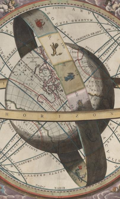
J. van. Loon & Andreas Cellarius, Sitvs terrae circvlis coelestibvs circvndatae, 1660, nla.gov.au/nla.obj-230714394
More to explore
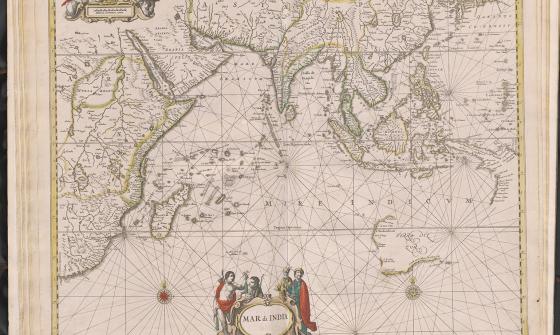
Jan Jansson & Hendrick Doncker, Mar di India, 1659, nla.gov.au/nla.obj-230757141
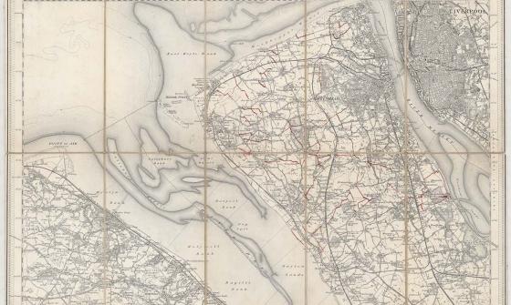
New one inch Ordnance Survey of England & Wales, 1864, nla.gov.au/nla.obj-231933519
This ‘one inch’ topographic map has a scale of one inch on the map representing one mile on the ground (1:63 360). Ordnance Survey maps at this scale provide an overview of an area, including the relationships between cities, villages and other features in the landscape.

[Anderson family children on a garden seat at Dee Why, New South Wales], c. 1920, nla.obj-145928313