Australian Capital Territory
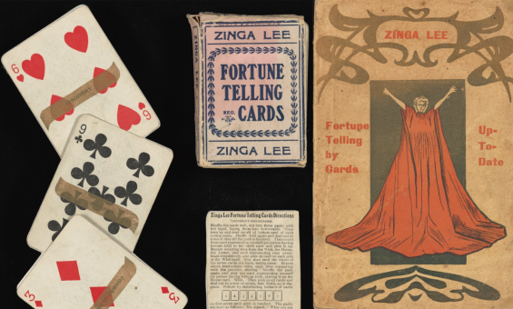
Zinga Lee (1861?–1945), Fortune Telling by Cards, Melbourne: Exchange Press, c. 1902, nla.gov.au/nla.cat-vn6891115
Zinga Lee (1861?–1945), Fortune Telling by Cards, Melbourne: Exchange Press, c. 1902, nla.gov.au/nla.cat-vn6891115
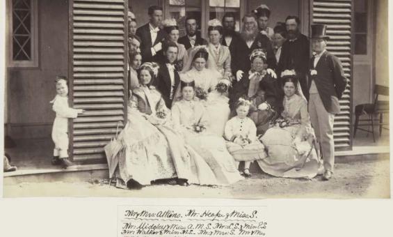
Album of photographs of Bushy Park, Tasmania, and Dandenong, Victoria, 1875, nla.gov.au/nla.obj-139460187
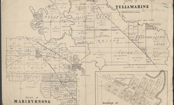
Parish of Tullamarine Parish of Maribyrnong, 1892, nla.gov.au/nla.obj-232027555
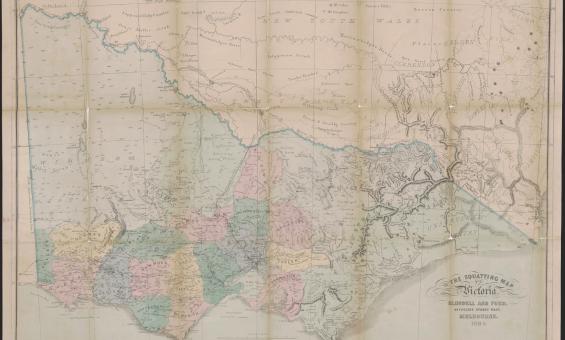
Thomas Ham, Blundell and Ford, The squatting map of Victoria, 1864-1865, nla.gov.au/nla.obj-231392173
This squatting map of Victoria shows counties, road and rail lines, settlements and subdivisions. Relief is shown on the map using hachures.
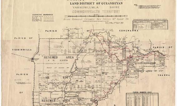
New South Wales, Department of Lands, Parish of Booroomba, County of Cowley Land District of Queanbeyan, Yarrowlumla Shire, Commonwealth Territory, 1912, nla.gov.au/nla.obj-233985512
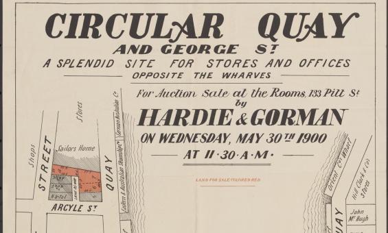
Hardie & Gorman Pty. Ltd & W. E. Smith Ltd, Circular Quay and George St., a splendid site for stores and offices, opposite the wharves for auction sale at the rooms, 133 Pitt St, nla.gov.au/nla.obj-230508873

Book cover, The Man who Planted Canberra: Charles Weston and His Three Million Trees, and image (detail) courtesy Adrian Kelson Photography
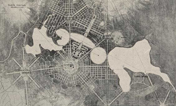
Detail of a black and white foolscap offprint of 'City and Environs, a plan of Canberra' from the papers of Walter Burley Griffin and Marion Mahony collected by Eric Nicholls, nla.gov.au/nla.obj-3210431032


Col Ellis, Panorama of Canberra taken from helicopter platform, Canberra, 2013, nla.gov.au/nla.obj-153517684