Ordnance Survey maps
About Ordnance Survey maps
The Ordnance Survey (OS) is Great Britain’s national mapping service, and one of the world's largest producers of maps.
Beginning in 1791, OS began producing series of detailed surveys that mapped much of the British Isles, including England, Wales, Scotland and Ireland.
For countries with significant populations of migrants from these countries, OS maps provide essential and detailed geographic information about their ancestors and the places they lived and worked.
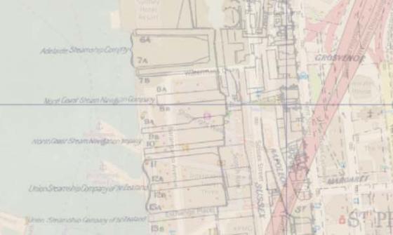
British ordnance plans were produced in several series (either national or county) and commonly printed at two scales: 6-inch to the mile (1:10,560) and 1-inch to the mile (1:63,360). The 6-inch series, in particular, provides rich detail.
Index maps
Graphical index maps are used to identify which sheet/s to request from a map series.
When we hold only part of a series, indexes will display this using coloured shading, as in the examples below.
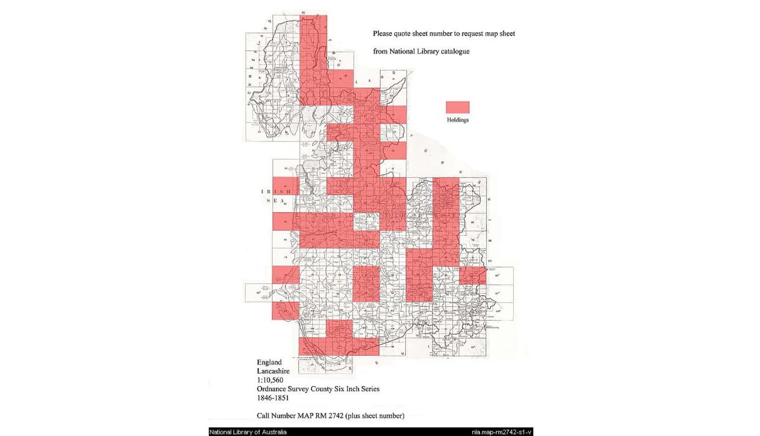
Graphical index for Ordnance Survey county six-inch topographic series of Lancashire, produced by the Ordnance Survey, Southampton, 1846-1851, MAP RM 2742.
Graphical index for Ordnance Survey county six-inch topographic series of Lancashire, produced by the Ordnance Survey, Southampton, 1846-1851, MAP RM 2742.
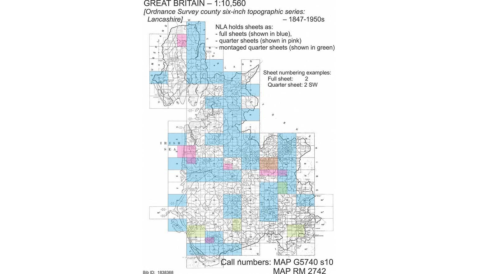
Great Britain. Ordnance Survey et al, Lancashire, 1847, nla.gov.au/nla.obj-232094773
Great Britain. Ordnance Survey et al, Lancashire, 1847, nla.gov.au/nla.obj-232094773
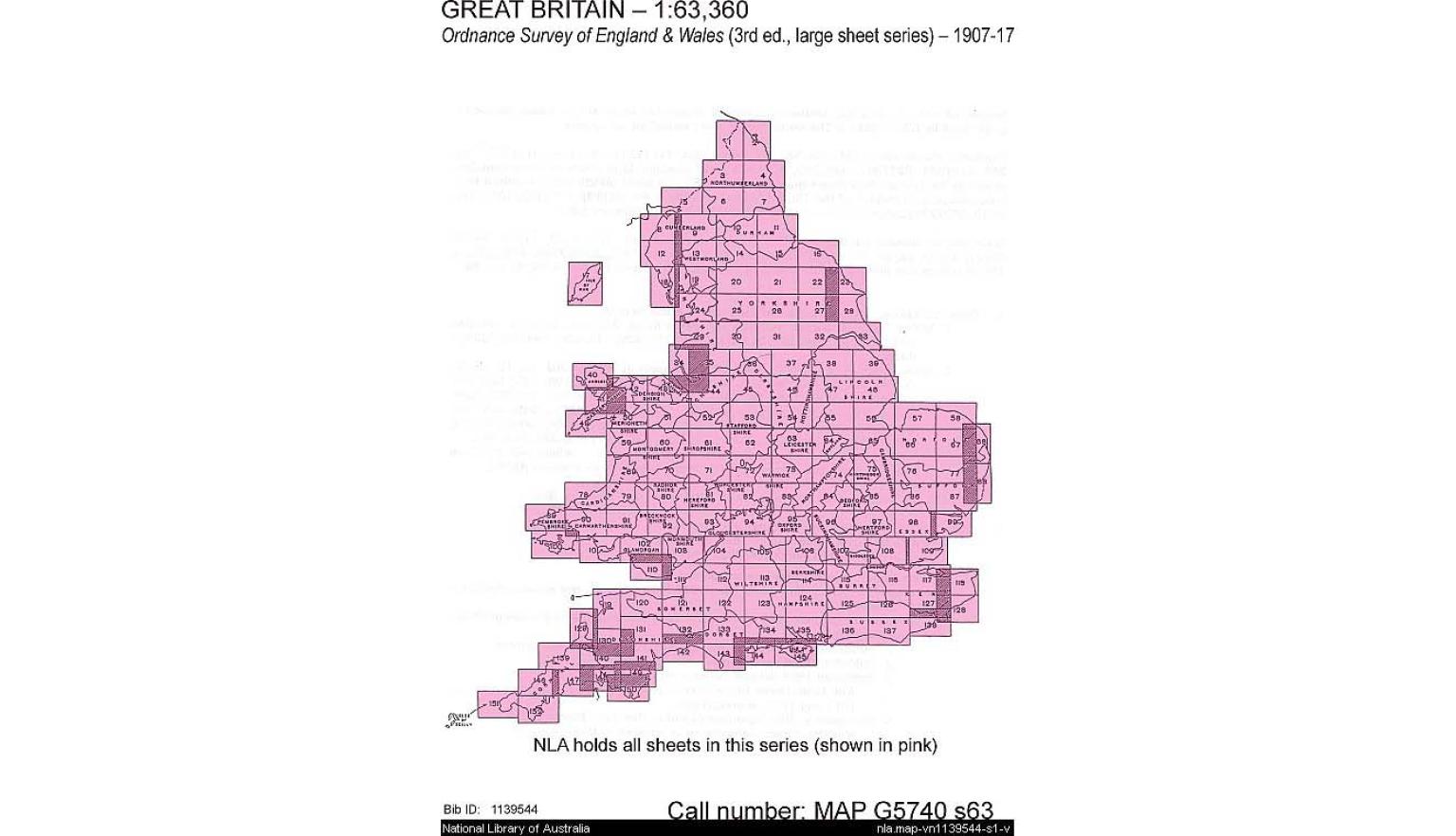
Graphical index demonstrating National Library holdings for the inch: mile Ordnance Survey of England and Wales, 3rd ed., produced by the Ordnance Survey Office, Southampton, from 1906-1917, MAP G5740 s63
Graphical index demonstrating National Library holdings for the inch: mile Ordnance Survey of England and Wales, 3rd ed., produced by the Ordnance Survey Office, Southampton, from 1906-1917, MAP G5740 s63
![Graphical index to [Townland survey of the counties of Ireland]](https://www.library.gov.au/sites/default/files/styles/media_carousel/public/images/2025-08/collection-map-townland-survey-ireland-1990-nla-cat-vn3122674-carousel_0.jpg?h=11eea8dd&itok=SPuh04lr)
Graphical index to [Townland survey of the counties of Ireland], Public Archives of Canada, Ottawa, 199?, mc 2271
Graphical index to [Townland survey of the counties of Ireland], Public Archives of Canada, Ottawa, 199?, mc 2271
Key resources
There are complete online sources of the Ordnance Surveys, though some of these are fee-based services.
The National Library and Australian state libraries hold various incomplete series of these maps.
British History Online provides access to a selection of early ordnance surveys, including all of the first 6-inch to the mile surveys.
Maps at this scale are detailed enough to show roads, buildings, farms, mines, railways and stations. They also show topographic contour lines, providing an accurate understanding of the landscape.
A range of ordnance survey maps can also be viewed from Old Maps online.
We hold copies of the following ordnance surveys:
- 1-inch to the mile maps published in the 19th and 20th centuries, providing excellent coverage of most of the British Isles. We have fully digitised 123 maps of the earliest 1-inch to the mile series.
- 6-inch to the mile maps published in the 19th and 20th centuries, covering most of England and Wales, in remarkable detail.
To find and request ordnance survey maps of England:
- Search the catalogue for ordnance survey one-inch England or ordnance survey six-inch England.
- From the Limit your search options on the right-hand side, select Format, then Maps.
Each series has an index map showing what we hold.
The National Library of Scotland has digitised their ordnance survey maps which can be viewed online, along with other historical Scottish maps. Many of these maps have been geo-referenced allowing you to compare a location to how it appears today.
We also hold some Scotland ordnance survey maps.
To find and request ordnance survey maps of Scotland:
- Search the catalogue for ordnance survey one-inch Scotland or ordnance survey six-inch Scotland.
- From the Limit your search options on the right-hand side, select Format, then Maps.
Each series has an index map showing what we hold.
Irish Ordnance Surveys are available online at Ordnance Survey Ireland GeoHive. Zoom in on the relevant location and choose the historical series you wish to view from the dropdown menu.
We hold some ordnance survey maps for Ireland and Northern Ireland, including the 1:50,000 scale ‘Discovery series’ (1993-). Each series has an index map showing what we hold.
To find and request ordnance survey maps of Ireland:
- Search the catalogue for ordnance survey one-inch Ireland or ordnance survey six-inch Ireland.
- From the Limit your search options on the right-hand side, select Format, then Maps.
We also hold Townland maps of Ireland, which is available on microfiche. These are reproductions of the 6-inch to the mile 1st edition (Dublin, 1833-1846), comprising maps for each of the 32 counties.
Request to view a map at the Library
To request a map or maps to view in the Special Collections Reading Room:
- Open the catalogue record
- Click Request
- Click Select
- Indicate the map sheet number (or letter) taken from the series index in the box provided, and submit your request.
How to order copies of maps
Once you have identified maps of interest, you can order copies of material that is out of copyright using our Copies Direct service.
If the item you wish to order is a single map:
- Click on Order a Copy at the top of the catalogue record
- Select Whole item and complete the order.
If the item you wish to order is a map within an atlas:
- Click on Order a Copy at the top of the catalogue record
- Select Part(s) of item and specify the page or plate required in the Sheet/Plate number field and complete the order.
Get help with your research
Our specialist staff can help you with your research, to locate resources and use our microform and scanning equipment but they cannot undertake extensive or ongoing genealogical, historical or other research on your behalf.
Find out more in our Information and research services policy.
Continue your journey


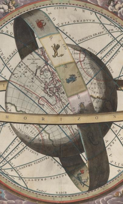
J. van. Loon & Andreas Cellarius, Sitvs terrae circvlis coelestibvs circvndatae, 1660, nla.gov.au/nla.obj-230714394
More to explore
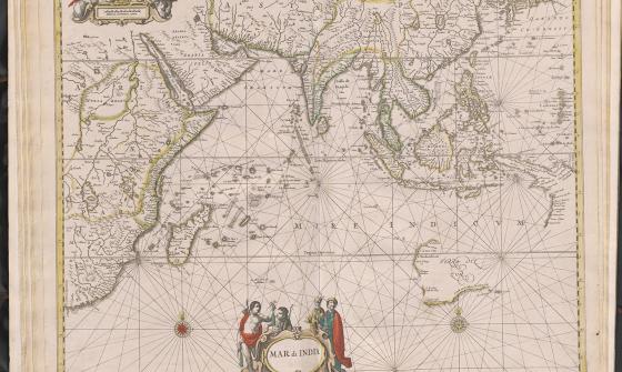
Jan Jansson & Hendrick Doncker, Mar di India, 1659, nla.gov.au/nla.obj-230757141
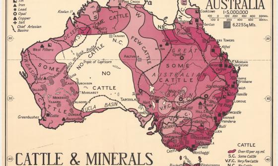
Thomas Griffith Taylor and H. O. Beckit, The new Oxford wall maps of Australia, c.1920, nla.gov.au/nla.obj-255201355