Overseas series mapping research guide
What you can find in the Library
We hold mapping not only for Australia, but for every country and ocean in the world as well as for all the planets. Many of our historic map series show contested or colonial borders; others were created to assist with joint military operations. We also hold large numbers of uncatalogued maps.
These maps may be standard topographic maps (showing terrain features), or may cover one or more themes, such as tourist information, roads, railways, geology, rainfall, soils, population density, etc.
Maps may be produced as:
- Individual (or single) maps of a country or region, each with its own catalogue record. These can be requested just like any other library material.
- Multi-sheet series. A series may include as few as 2 sheets (for example, covering the eastern and western halves of an area), or as many as several thousand sheets.
An example of a two-sheet map series.
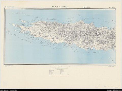
Great Britain. War Office. (1942). New Caledonia, nla.gov.au/nla.obj-233403296
Great Britain. War Office. (1942). New Caledonia, nla.gov.au/nla.obj-233403296
Historic map series
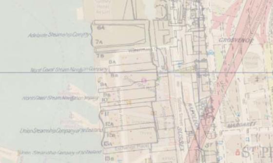
A large part of our collection of overseas series maps relate to contested boundaries, colonisation and war zones.
The image below is taken from a series of Guadalcanal at 1:25 000, produced by the Australian Army in 1942, at the time of the Japanese invasion of the Solomon Islands.
The area shown, marked with villages and 'numerous gardens and cultivations', is the region on which modern-day Honiara stands.
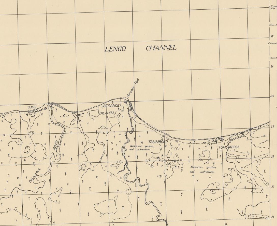
Australia. Army. A.H.Q. Cartographic Company. (1942). Guadalcanal Island, 1:25,000, detail, nla.gov.au/nla.obj-232835309
Australia. Army. A.H.Q. Cartographic Company. (1942). Guadalcanal Island, 1:25,000, detail, nla.gov.au/nla.obj-232835309
Joint Operations Graphics
Joint Operations Graphics (JOGs) are a series of maps produced jointly by various publishers around the world.
JOGs are produced in both ground and air versions to assist navigation in joint military operations.
The series depicted in the index below consists of thousands of sheets covering the surface of the globe. We hold most of the sheets that are publicly available.
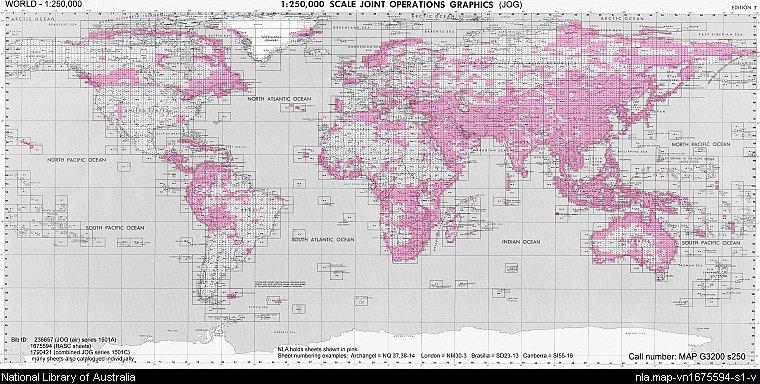
Australia. Army. Royal Australian Survey Corps. (1969). Joint operations graphic : [Australia] / prepared under the direction of the Chief of the General Staff by the Royal Australian Survey Corps. nla.gov.au/nla.cat-vn1675594
Australia. Army. Royal Australian Survey Corps. (1969). Joint operations graphic : [Australia] / prepared under the direction of the Chief of the General Staff by the Royal Australian Survey Corps. nla.gov.au/nla.cat-vn1675594
Mapping the planets
The Library holds a range of photomosaic, geological and topographic maps of Mercury, Venus, Mars and the satellites of Jupiter, Saturn and Uranus, published by the United States Geological Survey.
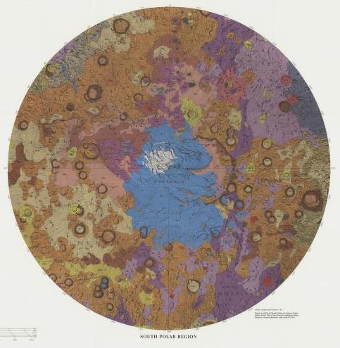
'South Polar Region' from Atlas of Mars 1:15,000,000 geologic series, Department of the Interior, U.S. Geological Survey, Reston, Va., 1986-1987, MAP G3182.M3C5 s15000. nla.gov.au/nla.obj-234052485
'South Polar Region' from Atlas of Mars 1:15,000,000 geologic series, Department of the Interior, U.S. Geological Survey, Reston, Va., 1986-1987, MAP G3182.M3C5 s15000. nla.gov.au/nla.obj-234052485
How to search, find and access items
Search the catalogue
Series maps may have a single catalogue record for the entire series.
To view or order copies of series maps, you usually need to specify which sheet(s) of the series you need. The catalogue record will provide this information in one or more of the following ways:
- As a listing of individual sheets, by name and/or number.
- As an index map attached to the record, showing the full extent of the series, indicating in colour which sheets the Library holds, and demonstrating how the sheets are named or numbered.
- For example: Myanmar 1:50,000
- Via reference to a printed or online gazetteer.
Using these methods, you can then enter the name and/or number of the required sheets into the online request form.
- Search the catalogue
- Select the catalogue record you want
- Click Request
- Click Select and log in with your Library account and submit the request
- Complete the form, making sure you specify in the notes field exactly which map or maps you would like to view.
Uncatalogued map series
About half of our overseas map series are uncatalogued.
Our Special Collections Reading Room has some ring binders containing index maps to many (but not all) of the catalogued and uncatalogued series, arranged by planet, continent and country.
- For catalogued series, these are identical to the index attached to the online record, and you can request these through the online catalogue.
- For uncatalogued series, these indexes will become available online once the series is catalogued, but you can still request them using a paper call slip. Please see staff for assistance in requesting uncatalogued series maps, or Ask a Librarian.
As of 2024, indexes are available (online or in the ring binders) for all the following series:
- Asia
- The Middle East
- North and East Africa
- Pacific Islands
- Southern Europe
- Scandinavia
- countries of the former USSR
Indexes are available for some but not all of the following map series:
- Antarctica
- Australia
- Canada
- parts of Europe
- Ireland
- New Zealand
- Southern, Central and West Africa
- United Kingdom
- United States
If you cannot find the map series you want in either our online catalogue or in the ring binders, we may still have it. Please seek assistance from our reference staff through Ask a Librarian.
The world map below shows countries for which ALL series maps have been indexed (shaded in blue), and countries for which series maps have been partially indexed (unshaded). G numbers relate to the call numbers for countries/regions.
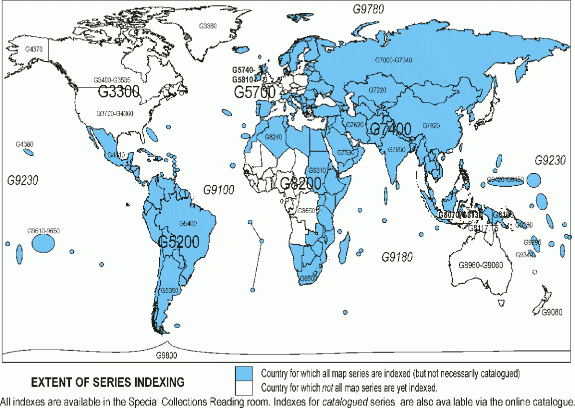
World map showing countries for which ALL series maps have been indexed (shaded in blue), and countries for which series maps have been partially indexed (unshaded). G numbers relate to the call numbers for countries/regions.
World map showing countries for which ALL series maps have been indexed (shaded in blue), and countries for which series maps have been partially indexed (unshaded). G numbers relate to the call numbers for countries/regions.
Related research guides
Browse these related Library research guides to find more information and resources.
Portrait of Oliver Barberie and family, 1900, nla.gov.au/nla.obj-136621963
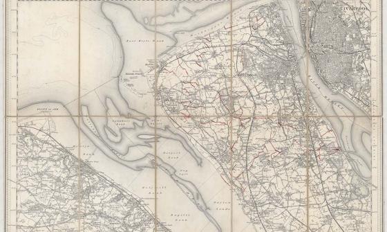
Parish of Tullamarine Parish of Maribyrnong, 1892, nla.gov.au/nla.obj-232027555
New one inch Ordnance Survey of England & Wales, 1864, nla.gov.au/nla.obj-231933519
This ‘one inch’ topographic map has a scale of one inch on the map representing one mile on the ground (1:63 360). Ordnance Survey maps at this scale provide an overview of an area, including the relationships between cities, villages and other features in the landscape.
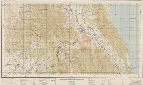
Australia. Army. Topographical Survey Company, 2/1st & Australia. Army. Topographical Survey Company, 6th & Australia. Army. Royal Australian Survey Corps. Gordonvale, Queensland Topographical Survey Company, 1942, nla.gov.au/nla.obj-234344829
Maps and copyright
Maps are usually published items.
- Maps published in or before 1954 are out of copyright.
- Maps published in 1955 or later by a government publisher: copyright lasts for 50 years after the end of the year the map was published.
- Maps published in 1955 or later by a non-government publisher: copyright lasts for 70 years after the end of the year the map was published.
For further information, see: Rights and the Maps Collection.
How to order copies of maps
Once you have identified maps of interest, you can order copies of material using our Copies Direct service.
For further information, see: Copies and loans
- If the item you wish to order is a single map:
- Go to the catalogue record for the map
- Click the red 'Order a Copy' button
- Complete the online order form.
If the item you wish to order is a map within an atlas:
- Go to the catalogue record for the atlas
- Click the red 'Order a Copy' button
- In the Sheet/Plate number field, specify the page or plate required
- Complete the rest of the order form.
Get help with your research
Our specialist staff can help you with your research, to locate resources and use our microform and scanning equipment but they cannot undertake extensive or ongoing genealogical, historical or other research on your behalf.
Find out more in our Information and research services policy.
Continue your journey


Max Dupain, Card catalogue at National Library of Australia, 1968, nla.gov.au/nla.obj-144066439

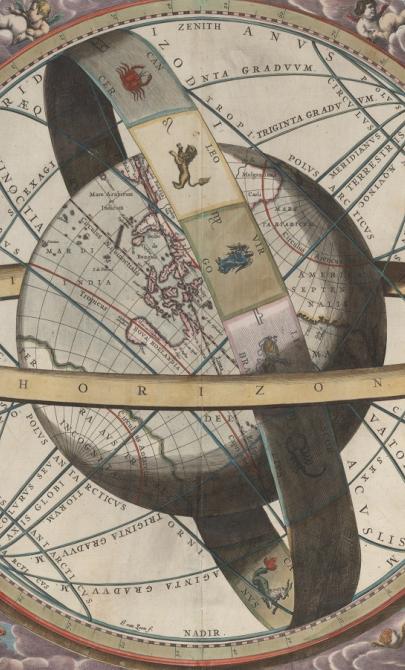
J. van. Loon & Andreas Cellarius, Sitvs terrae circvlis coelestibvs circvndatae, 1660, nla.gov.au/nla.obj-230714394
More to explore
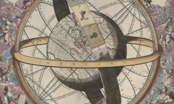
J. van. Loon & Andreas Cellarius, Sitvs terrae circvlis coelestibvs circvndatae, 1660, nla.gov.au/nla.obj-230714394
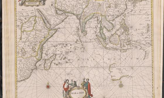
Jan Jansson & Hendrick Doncker, Mar di India, 1659, nla.gov.au/nla.obj-230757141