Family history and genealogy
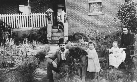
Portrait of Oliver Barberie and family, 1900, nla.gov.au/nla.obj-136621963
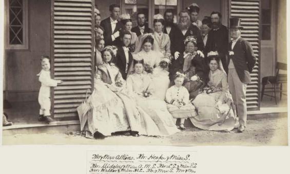
Album of photographs of Bushy Park, Tasmania, and Dandenong, Victoria, 1875, nla.gov.au/nla.obj-139460187
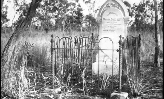
John Flynn, Grave of William Henry Light: a lantern slide from John Flynn's missionary days in Gippsland, 1906, nla.gov.au/nla.obj-142432903
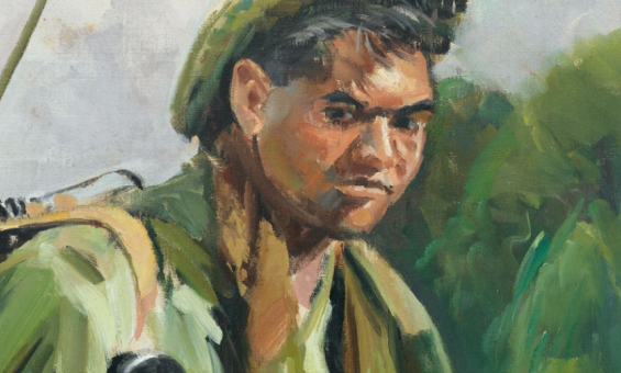
Noah Riseman & ANU Press, In defence of country : life stories of Aboriginal and Torres Strait islander servicemen & women (detail), 2016, nla.gov.au/nla.cat-vn6930656
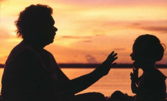
Australian Human Rights Commission, Bringing them home : the "Stolen children" report (1997) (detail), nla.gov.au/nla.cat-vn6230268
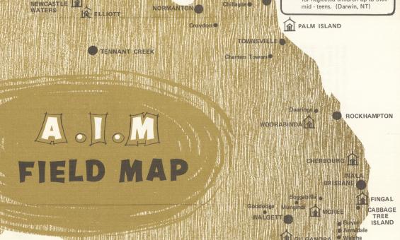
Aborigines Inland Mission of Australia, A.I.M. field map, 1972, nla.gov.au/nla.obj-2848085500
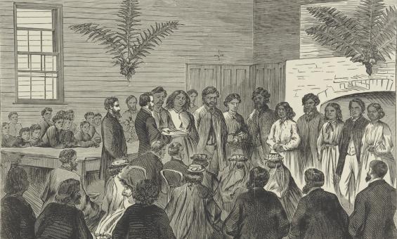
Frederick Grosse, Marriage of Aboriginal natives, Corranderk [i.e. Coranderrk], 1873, nla.gov.au/nla.obj-136144666
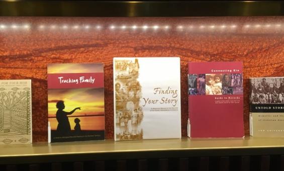
Some of the First Nations family history reference books that can be found in our collection.

Lutheran Koonibba Mission, South Australia, 1920-1930, nla.gov.au/nla.obj-152896940