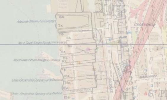
Maps
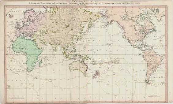
Lieut Henry Roberts, A general chart exhibiting the discoveries made by Capt. James Cook in this and his two preceding voyages, 1789, nla.gov.au/nla.obj-230604992
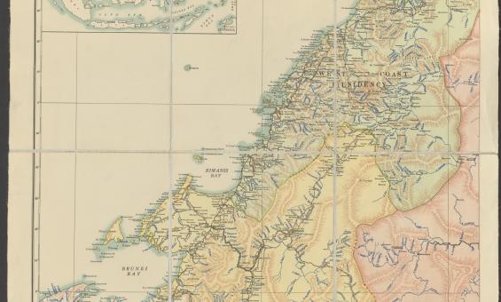
http://nla.gov.au/nla.obj-742754582
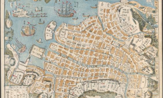
Shinsen Nagasaki no zu, 1801, nla.gov.au/nla.obj-230571001
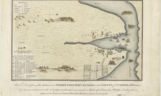
Francis Fowkes, Sydney Cove, Port Jackson, in the County of Cumberland, 1789, nla.gov.au/nla.obj-230578175
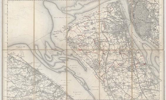
New one inch Ordnance Survey of England & Wales, 1864, nla.gov.au/nla.obj-231933519
This ‘one inch’ topographic map has a scale of one inch on the map representing one mile on the ground (1:63 360). Ordnance Survey maps at this scale provide an overview of an area, including the relationships between cities, villages and other features in the landscape.
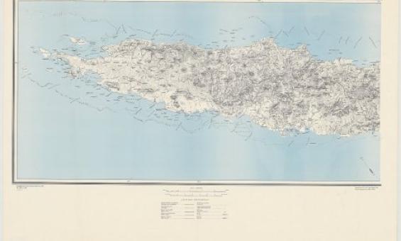
Great Britain. War Office. (1942). New Caledonia, nla.gov.au/nla.obj-233403296

Terence & Margaret Spencer, Independence Day Celebration (15) Port Moresby, Papua New Guinea, 1975, nla.gov.au/nla.obj-145645567
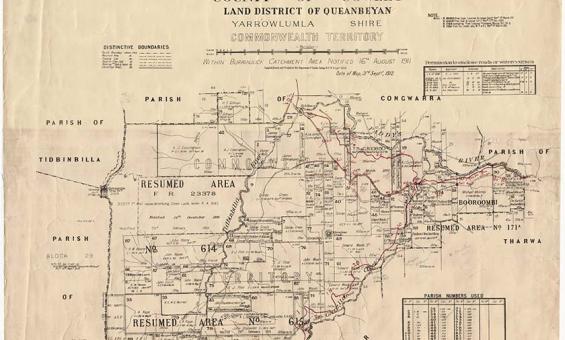
New South Wales, Department of Lands, Parish of Booroomba, County of Cowley Land District of Queanbeyan, Yarrowlumla Shire, Commonwealth Territory, 1912, nla.gov.au/nla.obj-233985512
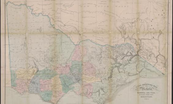
Thomas Ham, Blundell and Ford, The squatting map of Victoria, 1864-1865, nla.gov.au/nla.obj-231392173
This squatting map of Victoria shows counties, road and rail lines, settlements and subdivisions. Relief is shown on the map using hachures.

