Australian states and territories
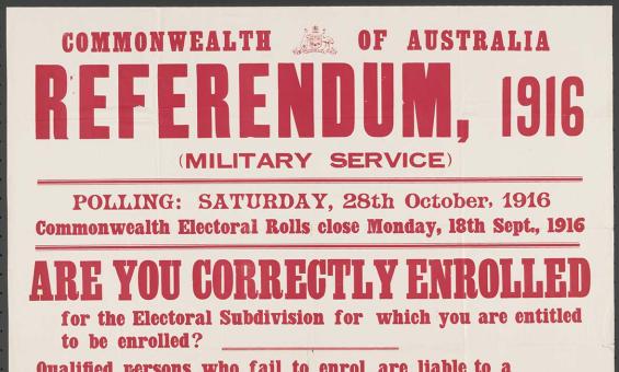
McLaren, J. G and Commonwealth Electoral Office (Australia) issuing body, Referendum, 1916 (military service) : are you correctly enrolled for the electoral subdivision for which you are entitled to be enrolled? Sydney, 1916, nla.gov.au/nla.obj-348412875

Cover of Air travel and holiday, vol. 1, No. 3 (cropped), March 1948, nla.gov.au/nla.obj-3997211269
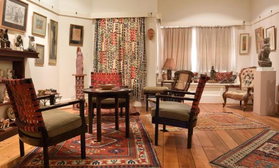
Duldig Studio sitting room. Image courtesy of the Duldig Studio Museum + Sculpture Garden ©2026.

Alan Dwyer, Caravan park in Darwin after Cyclone Tracy, December, 1974, nla.gov.au/nla.obj-148903604
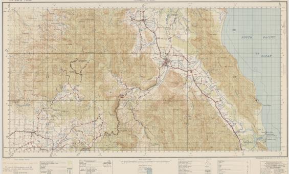
Australia. Army. Topographical Survey Company, 2/1st & Australia. Army. Topographical Survey Company, 6th & Australia. Army. Royal Australian Survey Corps. Gordonvale, Queensland Topographical Survey Company, 1942, nla.gov.au/nla.obj-234344829
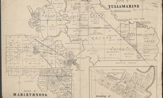
Parish of Tullamarine Parish of Maribyrnong, 1892, nla.gov.au/nla.obj-232027555
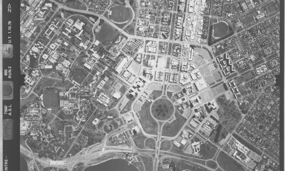
ACT town centre - Belconnen, Woden, Civic, 1978, nla.gov.au/nla.obj-2455089225