Maps

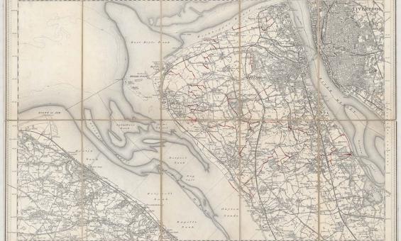
New one inch Ordnance Survey of England & Wales, 1864, nla.gov.au/nla.obj-231933519
This ‘one inch’ topographic map has a scale of one inch on the map representing one mile on the ground (1:63 360). Ordnance Survey maps at this scale provide an overview of an area, including the relationships between cities, villages and other features in the landscape.
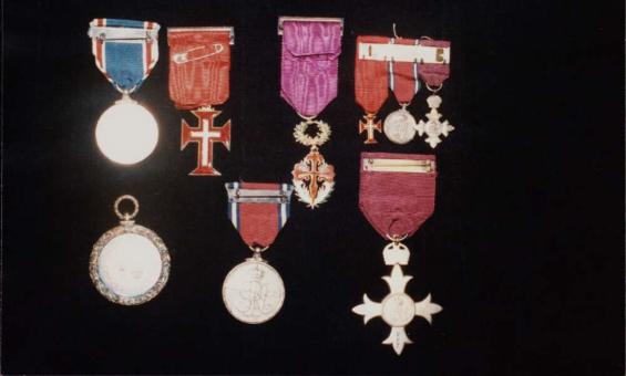
Medals awarded to J.P. and J.M. Braga, including an OBE awarded to J.P. Braga, 1935, nla.gov.au/nla.obj-147186954
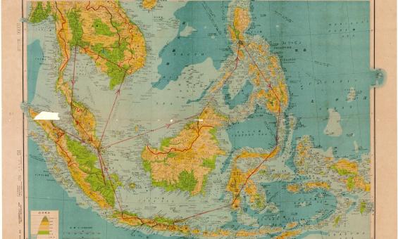
Henry Otley Bayer, Malay Archipelag 1:8,500,000, 1942, nla.gov.au/nla.obj-580711626
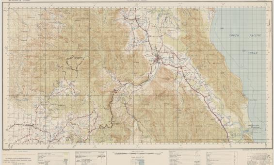
Australia. Army. Topographical Survey Company, 2/1st & Australia. Army. Topographical Survey Company, 6th & Australia. Army. Royal Australian Survey Corps. Gordonvale, Queensland Topographical Survey Company, 1942, nla.gov.au/nla.obj-234344829
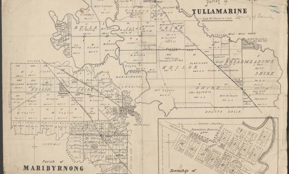
Parish of Tullamarine Parish of Maribyrnong, 1892, nla.gov.au/nla.obj-232027555
John Flynn, Flying Doctor Service of Australia, 1951, nla.gov.au/nla.obj-481242509
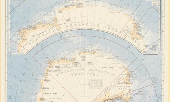
Australia. Department of the Interior. Property and Survey Branch. & E. P. Bayliss, J. S. & Cumpston, Antarctica, 1939, nla.gov.au/nla.obj-236895938
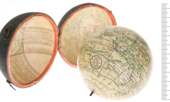
John Cary, William Cary and Jean Baptiste Bourguignon d'Anville, Cary's pocket globe agreeable to the latest discoveries, 1791, nla.gov.au/nla.obj-234207821