Family history and genealogy
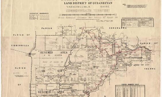
New South Wales, Department of Lands, Parish of Booroomba, County of Cowley Land District of Queanbeyan, Yarrowlumla Shire, Commonwealth Territory, 1912, nla.gov.au/nla.obj-233985512
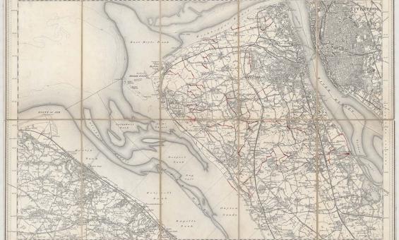
New one inch Ordnance Survey of England & Wales, 1864, nla.gov.au/nla.obj-231933519
This ‘one inch’ topographic map has a scale of one inch on the map representing one mile on the ground (1:63 360). Ordnance Survey maps at this scale provide an overview of an area, including the relationships between cities, villages and other features in the landscape.
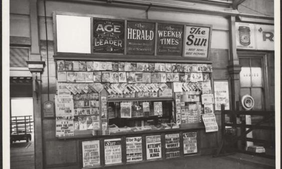
Newspaper stand in a railway station headlining attempt to kill King, Victoria, 1936, nla.gov.au/nla.obj-152826154

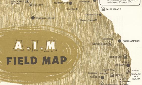
Aborigines Inland Mission of Australia, A.I.M. field map, 1972, nla.gov.au/nla.obj-2848085500
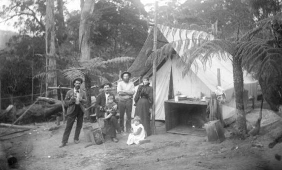
William Henry Corkhill, Jim Stephens, Steven Marsden, Charlie Marsden, his wife Rebecca and their children Millie and Stephen outside their tent, Mt Dromedary, ca.1899, nla.gov.au/nla.obj-140334789


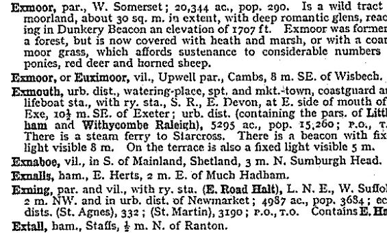
John Bartholomew and Son, Gazetteer of the British Isles, 1970, nla.gov.au/catalog/1374709
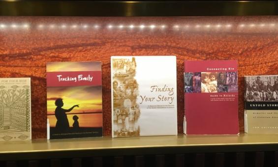
Some of the First Nations family history reference books that can be found in our collection.