Digital Classroom
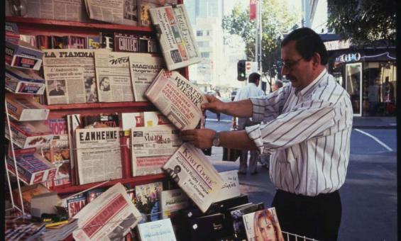
Australia. Department of Foreign Affairs and Trade. Overseas Information Bureau. (1991). Ethnic newspapers are prominent on this kiosk in Elizabeth Street, Melbourne, 1991 [transparency]. nla.gov.au/nla.obj-136834359
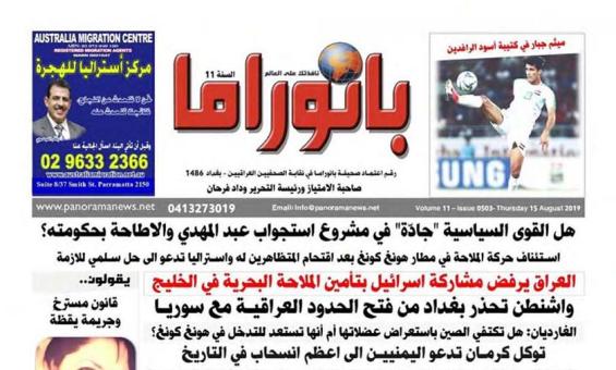
(2008). The Australian panorama Arabic newspaper. [Panorama Arabic Newspaper], [Parramatta, New South Wales] https://www.panoramanews.net nla.gov.au/nla.obj-747828340
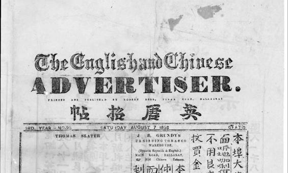
The English and Chinese Advertiser (Vic.: 1856–1858), p. 1., 7 August 1858, nla.gov.au/nla.news-page15910530
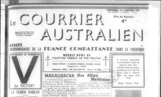
LA CLIQUE DARLAN, Le Courrier Australien (Sydney, NSW : 1892 - 2011), 1 January 1943, nla.gov.au/nla.news-article161749598
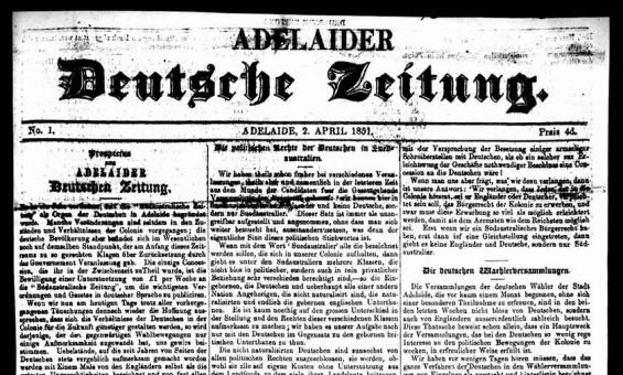
(1851). Adelaider Deutsche Zeitung (SA: 1851–1862), nla.gov.au/nla.news-title277
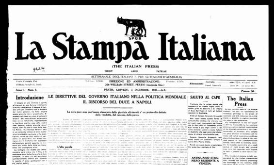
LE DIRETTIVE DEL GOVERNO ITALIANO NELLA POLITICA MONDIALE IL DISCORSO DEL DUCE A NAPOLI. (1931, December 3). Stampa Italiana = The Italian Press (Perth, WA: 1931–1932), nla.gov.au/nla.news-article249697143
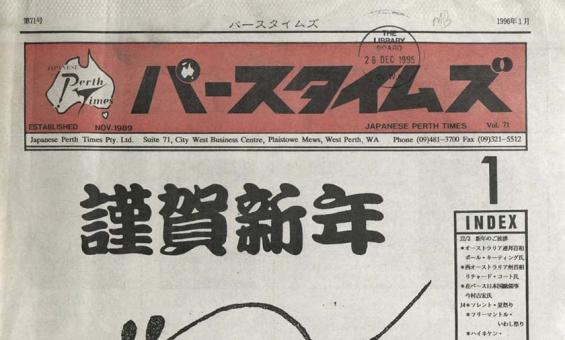
Japanese Perth times, 2018, nla.gov.au/nla.news-title1386
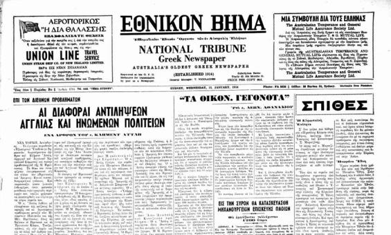
(2021). To ethnico vema : Greek national vema, nla.gov.au/nla.news-title1592
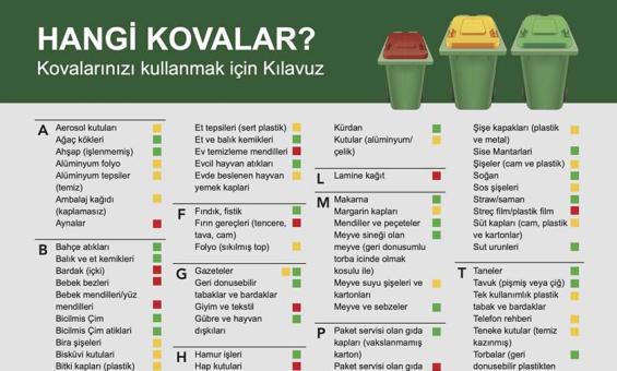
Mildura (Vic. : Rural City). Council. and Mildura (Vic. : Rural City). Council, issuing body, HANGİ KOVALAR? : Kovalarınızı kullanmak için Kılavuz, 2020, nla.gov.au/nla.obj-29635077
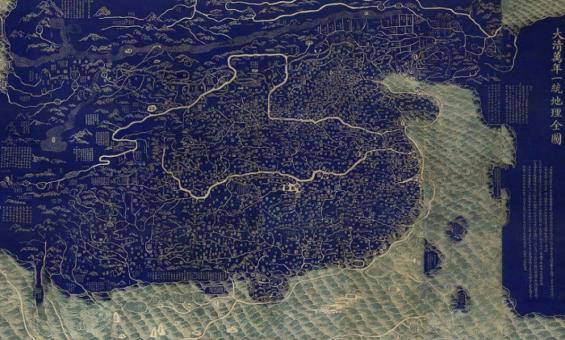
After Huang Qianren (1694–1771), Complete Map of the Everlasting Unity of the Great Qing (Da Qing wannian yitong dili quantu), Jiaqing period (1796–1820), National Library of China
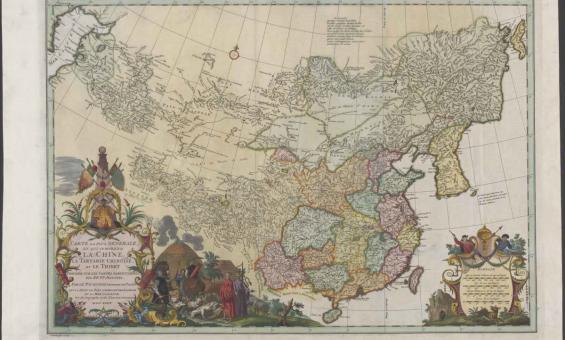
Jean Baptiste Bourguignon d'Anville & Henri Scheurleer & Gerardus Condet, Carte la plus generale et qui comprend la Chine, la Tartarie chinoise, et le Thibet, nla.gov.au/nla.obj-232293356
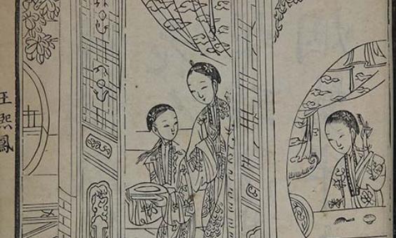
The Story of the Stone (Dream of Red Mansions), Suzhou: Book Room of Collected Literature 1791, National Library of China