Britain

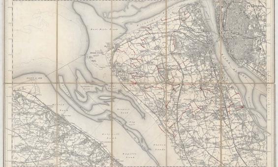
New one inch Ordnance Survey of England & Wales, 1864, nla.gov.au/nla.obj-231933519
This ‘one inch’ topographic map has a scale of one inch on the map representing one mile on the ground (1:63 360). Ordnance Survey maps at this scale provide an overview of an area, including the relationships between cities, villages and other features in the landscape.

C. E Wagstaff & George Baxter, (1841), The arrival of Her Most Gracious Majesty Queen Victoria at the House of Lords to open the first Parliament of her reign, nla.gov.au/nla.obj-136108572

Clifford family, Latin Chertsey Cartulary, England, c, 1301, nla.gov.au/nla.obj-241375708

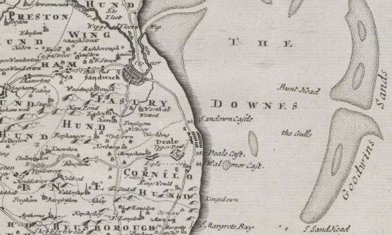
Robert Morden et al, Kent, 1695, detail, nla.gov.au/nla.obj-231505192

Robert Morden et al, Kent, 1695, detail, nla.gov.au/nla.obj-231505192

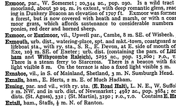
John Bartholomew and Son, Gazetteer of the British Isles, 1970, nla.gov.au/catalog/1374709
