Australian states and territories
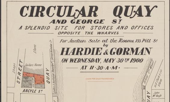
Hardie & Gorman Pty. Ltd & W. E. Smith Ltd, Circular Quay and George St., a splendid site for stores and offices, opposite the wharves for auction sale at the rooms, 133 Pitt St, nla.gov.au/nla.obj-230508873

South Australian Association, issuing body, New colony of South Australia : a bill having been brought into parliament under the sanction of His Majesty's government for founding a colony in South Australia, 1834, nla.gov.au/nla.obj-3461873066

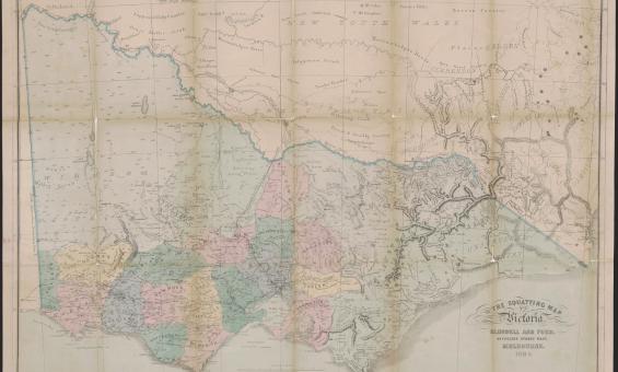
Thomas Ham, Blundell and Ford, The squatting map of Victoria, 1864-1865, nla.gov.au/nla.obj-231392173
This squatting map of Victoria shows counties, road and rail lines, settlements and subdivisions. Relief is shown on the map using hachures.
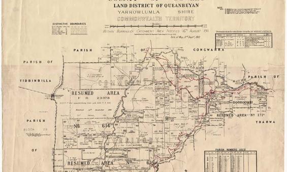
New South Wales, Department of Lands, Parish of Booroomba, County of Cowley Land District of Queanbeyan, Yarrowlumla Shire, Commonwealth Territory, 1912, nla.gov.au/nla.obj-233985512
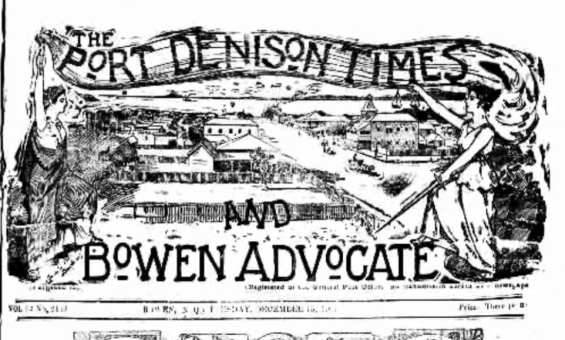
The Port Denison Times and Bowen Advocate, (Qld.), 13 December 1904, nla.gov.au/nla.news-page32436856
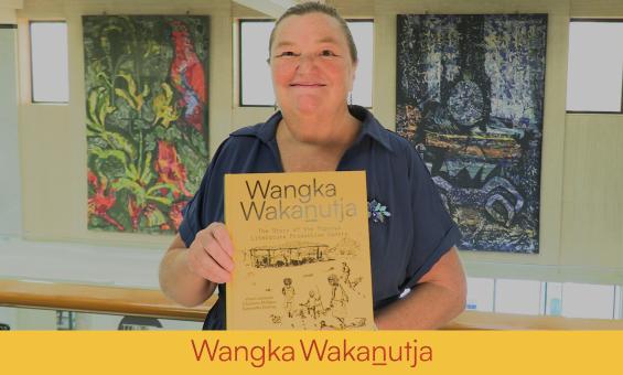
Rebecca Bateman, and NLA Publication, Wangka Wakanutja.
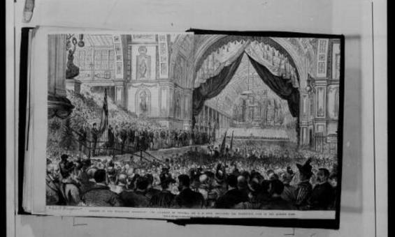
Papers of Sir Anthony Musgrave, Microform, nla.gov.au/nla.obj-1126183854

Col Ellis, Panorama of Canberra taken from helicopter platform, Canberra, 2013, nla.gov.au/nla.obj-153517684