British and Irish maps for family historians
Historical gazetteers
Gazetteers are listings of places, providing information such as territorial division (county etc), location (e.g. latitude and longitude), alternate names, population size, etc. Some gazetteers give quite detailed descriptions of places, or the sheet numbers of relevant Ordnance Survey maps. There are many gazetteers in our collection, covering England, Ireland, Scotland and Wales at various points in time. By using historical gazetteers you can find out not only where a place was, but also some key information about that locality at a particular point in time.
Some British and Irish Gazetteers are available for reference in the Special Collections Reading Room. Others may be requested through the catalogue. Search using any of the following search terms: England AND gazetteer, Ireland AND gazetteer, Great Britain AND gazetteer, Wales AND gazetteer or Scotland AND gazetteer. Scroll down the catalogue record, select "In the Library" and then "Request this".
- Cassell's gazetteer of Great Britain and Ireland (1894-98)
- The National gazetteer of Great Britain and Ireland (1861)
- The gazetteer of England : England's cities, towns, villages and hamlets (1972)
- Gazetteer of England and Wales (1840-1843) (microfilm available)
- Johnston's gazetteer of Scotland (1973)
- General Index to the Townlands and Towns, Parishes and Baronies of Ireland, based on the Census of Ireland for 1851
- Gazetteer of Northern Ireland, listing all the names that appear on the sheets of the 1-inch map (third series) and giving the position of each name in terms of the Irish grid. (1969)
Ordnance Survey maps
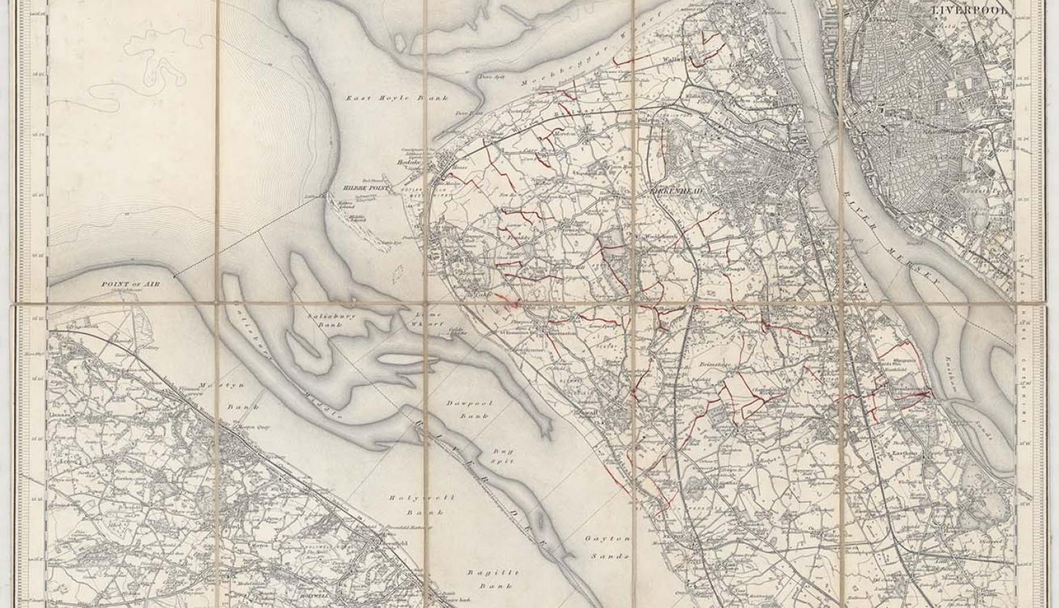
The Ordnance Survey (OS) is the national mapping agency for Great Britain, and one of the world's largest producers of maps. The agency's name indicates its original military purpose, though its most relevant function for family historians has been the detailed mapping of England, Wales, Scotland and Ireland from the early 1800’s onwards.
For countries with significant populations of migrants from these countries, OS maps provide essential and detailed geographic information about their ancestors and the places they lived and worked.
OS maps were printed at 1 inch to the mile (1:63,360) and 6-inch to the mile (1:10,560) scales, produced in several series (either national or county). The 6 inch series in particular provides rich detail. There are complete online sources of OS, though some of these are fee-based services. The National Library and Australian state libraries hold various incomplete series.
Early in the 19th century the Ordnance Survey Department began producing series of detailed surveys that mapped much of the British Isles.
British ordnance plans were commonly produced at two scales: 6-inch to the mile and 1 inch to the mile.
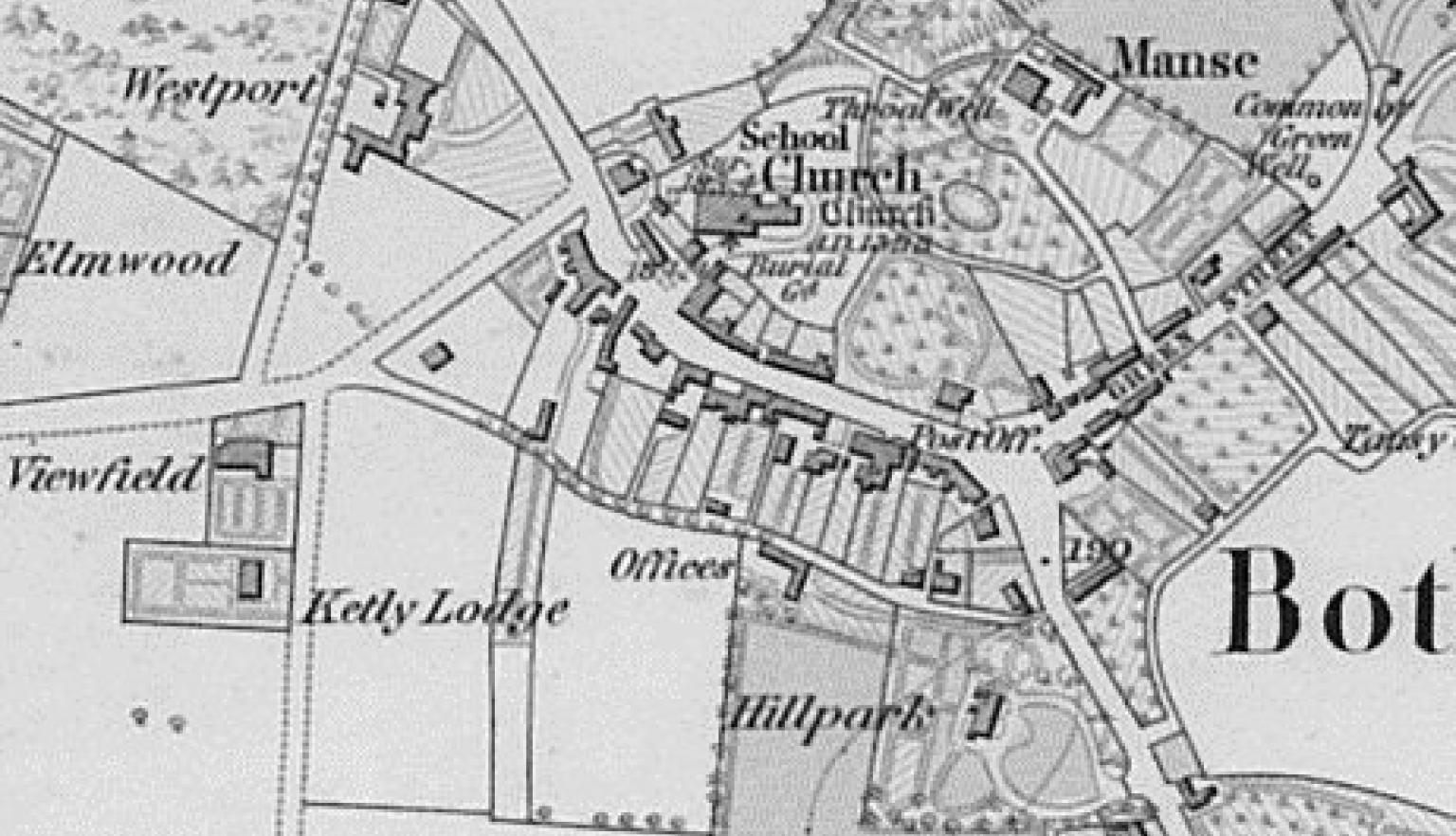
British History Online provides access to a selection of early ordnance surveys, including all of the first 6-inch to the mile surveys. Maps at this scale are detailed enough to show roads, buildings, farms, mines, railways and stations. They also show topographic contour lines, providing an accurate understanding of the landscape.
A range of ordnance survey maps can also be viewed from Old-Maps online.
The Library holds copies of the following ordnance surveys:
- 1-inch to the mile maps produced by the Ordnance Survey Department provide excellent coverage of most of the British Isles. The Library holds series of ordnance survey maps, published in the 19th and 20th centuries. The Library has fully digitised 123 maps of the earliest 1" to the mile series.
- 6-inch to the mile maps produced by the Ordnance Survey Department. Our collection of these remarkably detailed maps covers most of England and Wales, published in the 19th and 20th centuries.
To find and request ordnance survey maps, type “ordnance survey” AND “one-inch” (or six-inch) AND England in the search box and select “Maps” as format. Each series has an index map showing what we hold. To request a map or maps, scroll down the catalogue record, select "In the Library" and then "Request this". Indicate the map sheet number (or letter) in the box provided.
The National Library of Scotland has digitised their ordnance survey maps which can be viewed online, along with other historical Scottish maps. Many of these maps have been geo-referenced allowing you to compare a location to how it appears today.
The Library also holds some ordnance survey maps. To find and request ordnance survey maps of Scotland, type “ordnance survey” AND “one-inch” (or six-inch) AND Scotland in the search box and select “Maps” as format. Each series has an index map showing what we hold. To request a map or maps, scroll down the catalogue record, select "In the Library" and then "Request this". Indicate the map sheet number (or letter) in the box provided.
Irish Ordnance Surveys are available online via Ordnance Survey Ireland. Zoom in on the relevant location and choose the historical series you wish to view from the dropdown menu.
The Library holds some ordnance survey maps for Ireland and Northern Ireland. To find and request ordnance survey maps of Ireland, type “ordnance survey” AND “one-inch” (or six-inch) AND Ireland in the search box and select “Maps” as format. Each series has an index map showing what we hold. The Library also holds the 1:50,000 scale ‘Discovery series’ (1993-).
To request a map or maps, scroll down the catalogue record, select "In the Library" and then "Request this". Indicate the map sheet number (or letter) in the box provided.
The Library also holds Townland maps of Ireland, available on microfiche. These are reproductions of the 6-inch to the mile 1st edition (Dublin, 1833-1846), comprising maps for each of the 32 counties.
Early atlases and county maps
The Library has a large collection of early maps and atlases of the British Isles. Maps are often listed under the name of a county, shire or province. County maps provide place names, boundaries, topographical, demographic, road and rail information, larger estates and other features.
Some atlases include gazetteers giving details of places listed.
1. Search the Library’s catalogue
Enter the relevant county name, e.g. “Nottinghamshire”, and select “Map” from the dropdown menu for format. Date sort the results (oldest to newest). To search for atlases of the British Isles, enter the name of the country (England or Wales etc) AND atlas, and select “Map” from the dropdown menu for format.
Only a few atlases have been digitised, however most maps on single sheets before 1900 have been digitised and can be zoomed in on for details.
The large English atlas, or, A new set of maps of all the counties in England and Wales (1785), An accurate map of Nottingham Shire, MAP Ra 40 Plate 28.
2. Request to view the map at the Library
If the map or atlas is not digitised, select "Request" from the top of the catalogue record and "Select" the item you wish brought to the Reading Rooms.
Early maps of London and other cities and towns
The Library has a large collection of early maps of London and other British cities and towns. City maps provide road and rail information, buildings, farms, industries, schools, churches, and many other features.
1. Search the Library’s catalogue
Enter the relevant city or town name, e.g. “liverpool”, and select “Map” as the format. Date sort oldest to newest. Including the word "city" in your search may be useful in some cases.
To view only digitised maps, enter the relevant city or town name, e.g. liverpool AND England AND map, and select “NLA digitised material” as the format.
Most maps on single sheets before 1900 have been digitised and can be zoomed in on for details.
There are also several detailed reproduction atlases of London available, such as The A to Z of Georgian London. To find and request these, enter the name of the city or town, e.g. “london” AND facsimiles in the search box, and select “Map” as the format.
Excerpt showing St James' Square, Pall Mall and St James' Park, The A to Z of Georgian London, Harry Margary, Lympne Castle, 1981, MAPq 912.421 R684, Page 21, map sheet 10.
2. Request to view the map at the Library
If the map or atlas is not digitised, select "Request" at the top of the catalogue record and then "Select" the item you wish brought to the Reading Rooms.
How to order copies of maps
Once you have identified maps of interest, you can order copies of material that is out of copyright using the Library’s Copies Direct service.
If the item you wish to order is a single map:
- Select “Order a Copy” at the top of the catalogue record.
- Select “Whole item”, and complete the order as usual.
If the item you wish to order is a map within an atlas:
- Select “Order a Copy” at the top of the catalogue record.
- Select “Part(s) of item”, and specify the page or plate required in the Sheet/Plate number field, and complete the order as usual.