

Family history and genealogy
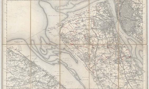
New one inch Ordnance Survey of England & Wales, 1864, nla.gov.au/nla.obj-231933519
This ‘one inch’ topographic map has a scale of one inch on the map representing one mile on the ground (1:63 360). Ordnance Survey maps at this scale provide an overview of an area, including the relationships between cities, villages and other features in the landscape.
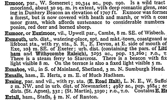
John Bartholomew and Son, Gazetteer of the British Isles, 1970, nla.gov.au/catalog/1374709
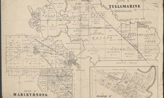
Parish of Tullamarine Parish of Maribyrnong, 1892, nla.gov.au/nla.obj-232027555
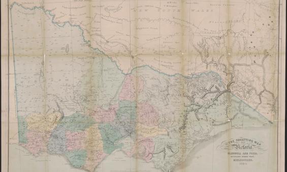
Thomas Ham, Blundell and Ford, The squatting map of Victoria, 1864-1865, nla.gov.au/nla.obj-231392173
This squatting map of Victoria shows counties, road and rail lines, settlements and subdivisions. Relief is shown on the map using hachures.
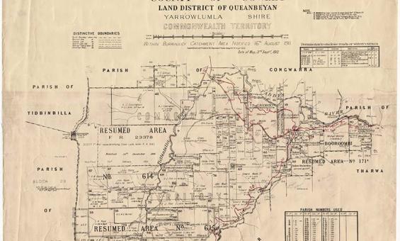
New South Wales, Department of Lands, Parish of Booroomba, County of Cowley Land District of Queanbeyan, Yarrowlumla Shire, Commonwealth Territory, 1912, nla.gov.au/nla.obj-233985512
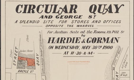
Hardie & Gorman Pty. Ltd & W. E. Smith Ltd, Circular Quay and George St., a splendid site for stores and offices, opposite the wharves for auction sale at the rooms, 133 Pitt St, nla.gov.au/nla.obj-230508873

Anna Zhu, Dawna Leung, Thornleigh, Sydney, New South Wales, 31 May 2022, nla.obj-3084238106
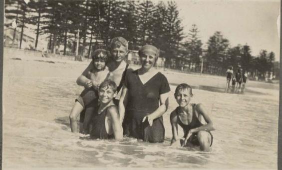
Noel Minchin, A family at Manly beach, New South Wales, 1923, nla.gov.au/nla.obj-140924016
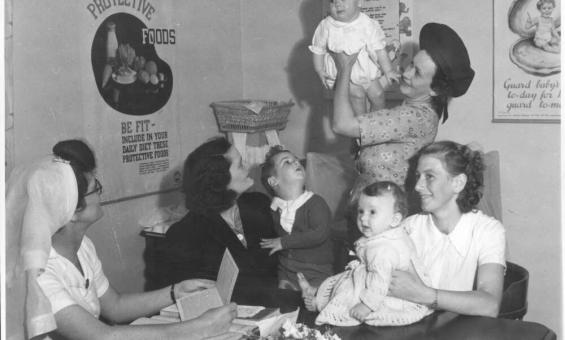
Jim Fitzpatrick & Australia Department of Information, Mothers and babies at the Drouin Infant Welfare Centre, Victoria, 1944, nla.gov.au/nla.obj-147033868
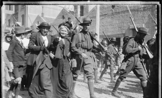
Fairfax Corporation, Departing troops walking with their families down Macquarie Street, 1914, nla.gov.au/nla.obj-162908974
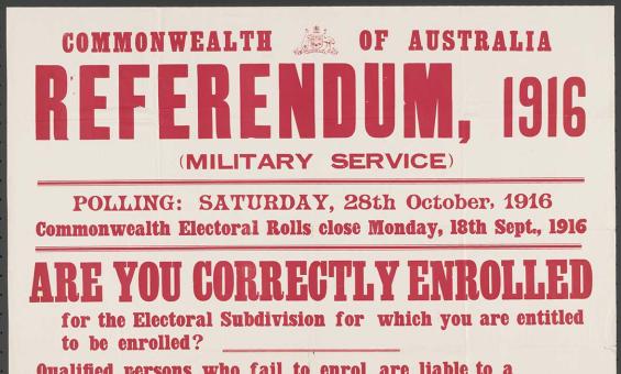
McLaren, J. G and Commonwealth Electoral Office (Australia) issuing body, Referendum, 1916 (military service) : are you correctly enrolled for the electoral subdivision for which you are entitled to be enrolled? Sydney, 1916, nla.gov.au/nla.obj-348412875